
November opens with rain and regional contrasts
The first day of November brings important flooding concerns in the Four Corners and South Florida, severe thunderstorm potential in New Mexico, and a quieter but colder turn across Alaska’s Interior. The National Weather Service’s national overview highlights widespread Southwest precipitation and an unsettled Florida peninsula. Local discussions provide the more precise timing and explain why neighboring areas can face different hazards. NWS source
This Sunday briefing reflects forecasts checked around 2 p.m. Eastern Standard Time. Earlier observations are identified separately from expected developments this afternoon, tonight and Monday. Because alerts and storm placement can change quickly, use the linked local products for decisions about your own route or neighborhood.
New Mexico: flooding west, severe storms farther east
Albuquerque’s 11:16 a.m. Mountain Standard Time discussion forecasts heavier western New Mexico rainfall through Monday morning. Saturated soils increase the chance of localized flooding, and the updated key messages now describe a moderate to high chance of river flooding across northern and western parts of the state. That is a forecast assessment, not confirmation that every river has exceeded its banks. NWS source
Central and eastern New Mexico face severe thunderstorms this afternoon and tonight, with hail, damaging winds and tornadoes possible. The morning forecast places the advancing frontal band near the Rio Grande Valley around late afternoon, then moving east. Timing is approximate; a newer warning takes precedence over any schedule in a regional summary. NWS source
Another colder front Monday morning should lower snow levels, with the main northern-mountain accumulations above 9,000 feet. Most amounts are forecast around one to four inches, with higher pockets possible. Rain, severe storms and later mountain snow belong to different parts of this evolving system, so travelers should check both elevation and departure time. NWS source
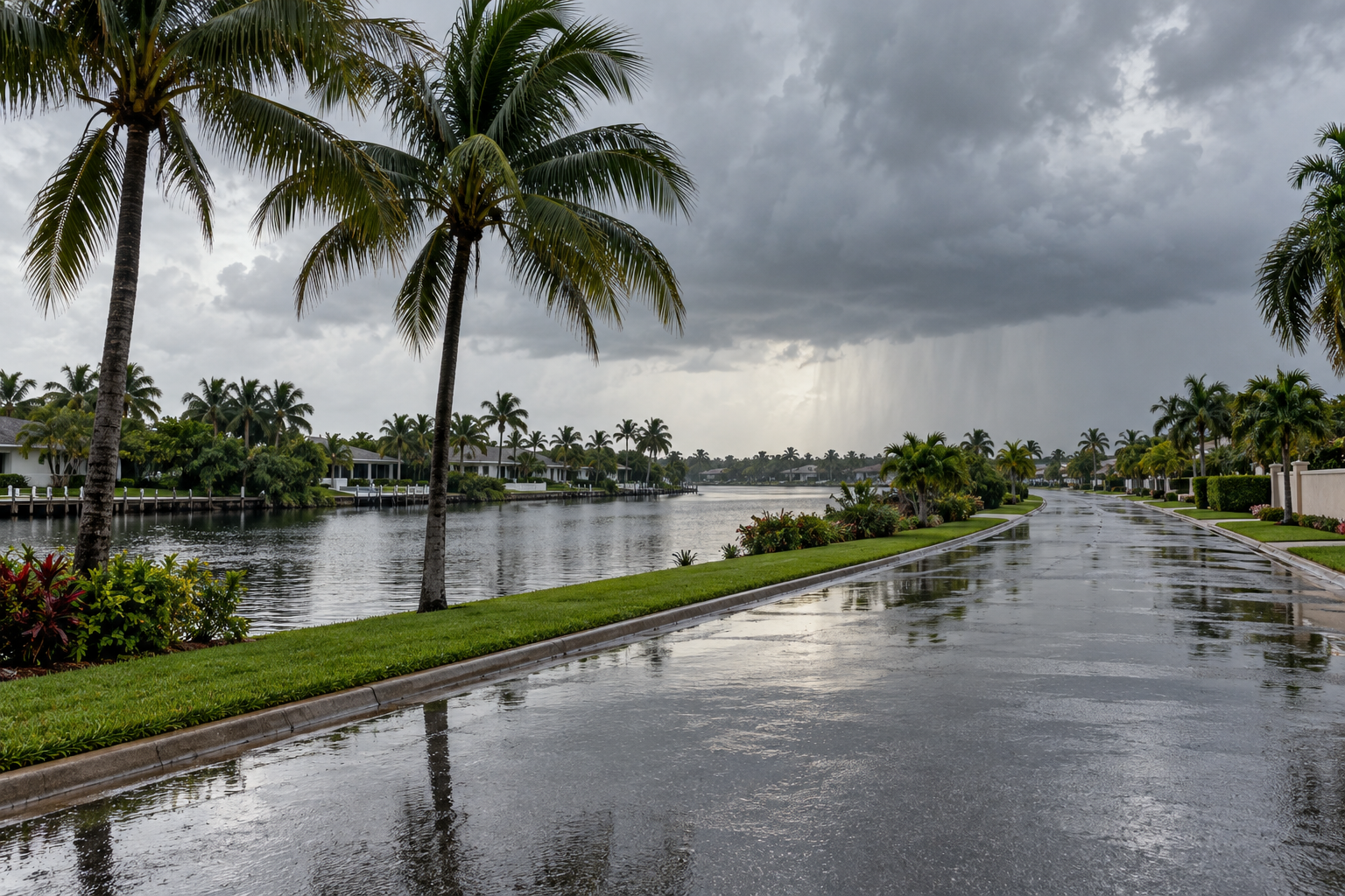
South Florida: repeated showers raise flood potential
Miami’s discussion issued at 12:54 p.m. Eastern Standard Time maintains a flood watch for the Lake Okeechobee region and eastern half of South Florida through Monday. Minor to moderate flooding around high tides and dangerous Atlantic beach and marine conditions remain separate concerns alongside the rainfall threat. NWS source
The report describes bands of showers moving over southeastern Florida as part of the observed pattern. For the following forty-eight hours, forecasters anticipate one to two inches as a common rainfall amount, with localized totals of two to four inches. Higher amounts are possible where repeated bands develop, but their exact placement remains uncertain. NWS source
The early discussion identifies Broward County as a potential focus for heavier Sunday rain, with that axis possibly shifting toward Palm Beach County overnight. These are location forecasts, not verified totals. Monday’s coverage also depends on how the approaching disturbance evolves, making updated radar, warnings and local road information particularly useful. NWS source
Alaska: Interior cooling, another coastal wind increase
Fairbanks’ 6:38 a.m. Alaska Standard Time discussion forecasts light Sunday snow mainly north and west of Fairbanks. Around Tanana, Bettles and the central Brooks Range, including portions of the Dalton Highway, expected amounts are approximately one half to one and one half inches. Even modest fresh accumulation can complicate travel in affected areas. NWS source
The Interior should become quieter Sunday evening, with daytime temperatures generally in the twenties and nighttime readings dropping into the teens or single digits. The local discussion places Champi’s weakening remnants in the northern Gulf of Alaska, rather than treating the older national overview’s approach language as a new coastal forecast. NWS source
A different Bering Sea system is expected to increase southeasterly winds tonight into Monday along western coastal areas, potentially exceeding 40 mph southward from the Seward Peninsula. Fairbanks forecasters do not anticipate appreciable coastal flooding from that setup at this time. Conditions inland and along exposed coasts should therefore be assessed separately. NWS source
Western Washington: dry weather can still mean poor visibility
Seattle’s 9:45 a.m. Pacific Standard Time update reports persistent low cloud across much of the lowlands, with pockets of fog gradually improving. Afternoon breaks of sunshine are possible, although cloud cover may linger. The forecast keeps the region mainly dry through Monday, with highs mostly in the lower to middle fifties. NWS source
Light winds and lingering surface moisture favor another round of fog and low cloud early Monday. Some locations could experience sharply reduced visibility, though confidence was insufficient for a dense fog advisory in that morning update. Coastal seas are also forecast to rise tonight and Monday, creating a separate small-craft concern. NWS source
Keep the next decision local
Keep a forecast’s date attached when sharing it. A morning improvement may not last overnight, and conditions at one airport cannot establish conditions along an entire highway. Compare the return journey with the outward trip too.
Check the latest alert before starting out. National Weather Service flood guidance advises avoiding floodwater and respecting road barriers because the pavement underneath may be damaged or missing. NWS source
Source notes
November 1, 2026 forecast snapshot, checked around 2 p.m. Eastern Standard Time. November 1 discussions: Albuquerque 11:16 a.m. MST; Miami 12:54 p.m. EST; Fairbanks 6:38 a.m. AKST; Seattle 9:45 a.m. PST. Local issuance dates and forecast periods take precedence over older wording in the national overview. Linked products update as new versions are issued. Article body: 750 words, excluding headings, source-link labels and these notes.
