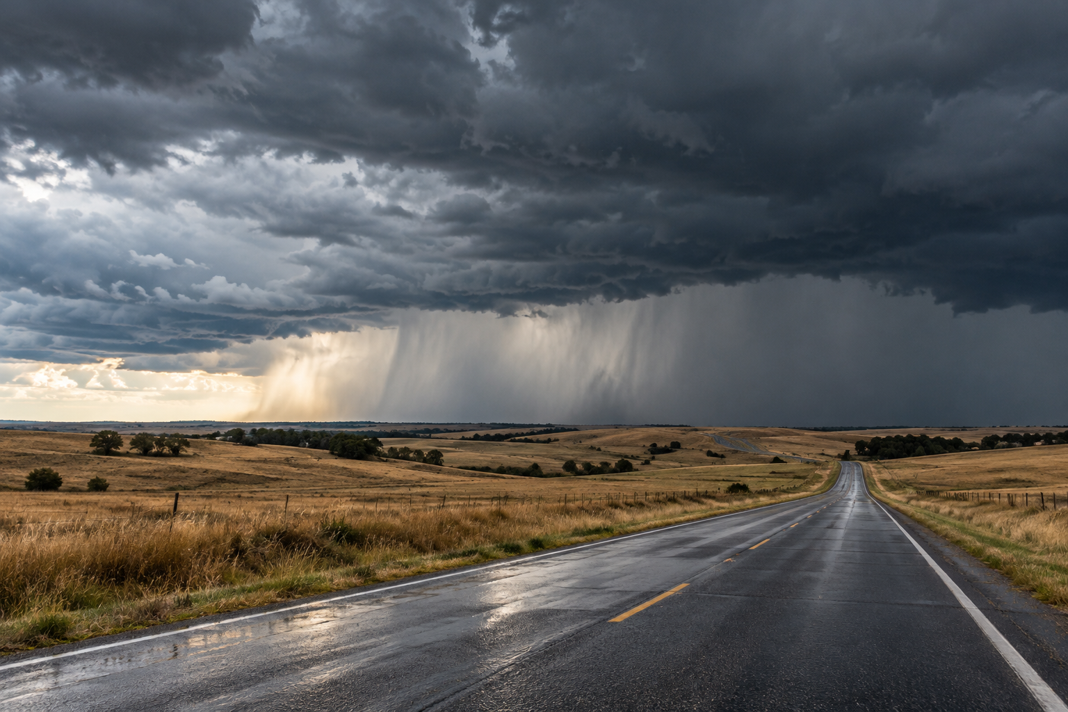
Monday shifts attention toward the Plains
An intensifying Plains storm, additional heavy Florida rainfall, and persistent Southwest river flooding lead the National Weather Service’s November 2 national overview. Scattered severe thunderstorms could produce damaging winds and a few tornadoes in the Plains, while eastern and southern Florida remain vulnerable to isolated flash flooding. The Southwest’s rainfall may ease before its swollen rivers recover. NWS source
This Monday briefing reflects forecasts checked around midday Eastern Standard Time. It distinguishes overnight reports from expected afternoon and evening developments. Conditions can differ sharply across a state, so the linked local products are the appropriate next stop for anyone planning a trip, outdoor work or an event.
Kansas: another storm round may develop this afternoon
Wichita’s discussion issued at 5:28 a.m. Central Standard Time describes an early line of showers and thunderstorms moving through the region. That is an observation in the morning report. Forecasters then identify a separate opportunity for storm redevelopment between roughly 2 and 5 p.m. near or west of Highway 14 in central and south-central Kansas. NWS source
The initial stronger afternoon storms could produce damaging winds, large hail and a few brief tornadoes into early evening. As storms organize into a line, wind damage becomes the main concern. That progression is a forecast scenario, not confirmation of a tornado at any particular location. Storms are expected to shift east of southeastern Kansas around midnight. NWS source
Wraparound showers could linger over central Kansas Tuesday morning before cooler, drier air arrives with gusty northwest winds. A predominantly dry pattern is forecast from Wednesday through the weekend, although a few southern Kansas showers remain possible Thursday. Today’s afternoon window deserves attention before that later improvement. NWS source
South Florida: flood watch covers the entire region
Miami’s 6:52 a.m. Eastern Standard Time update maintains a flood watch for all South Florida. The office expanded coverage because confidence remains low about where the heaviest rainfall will concentrate. Slow-moving storms could develop as activity crosses from the Gulf toward the Atlantic coast during the afternoon and evening. NWS source
Where showers and storms occur, forecasters anticipate common amounts of one to three inches, with some locations receiving three to five. Isolated high-end totals could reach six to nine inches within only a few hours. Those are potential amounts, not measured rainfall everywhere, and the forecast explicitly acknowledges difficulty pinpointing the heaviest bands. NWS source
Minor to moderate coastal flooding around high tide and dangerous Atlantic marine and beach conditions remain separate hazards. Tuesday may stay wet, particularly along the east coast, although expected rainfall extremes are lower. A reduction in the highest possible totals would still leave a meaningful rain concern for already vulnerable neighborhoods. NWS source
New Mexico: rainfall diminishes before river concerns end
Albuquerque’s 4:49 a.m. Mountain Standard Time discussion expects precipitation chances to diminish late Monday, but rivers in northwestern and north-central New Mexico remain near or above bankfull. The report identifies ongoing flooding and river flood warnings in the San Juan, Upper Rio Grande and Gila basins after repeated rain over saturated ground. NWS source
The overnight discussion says the earlier eastern New Mexico storms had moved into the Texas Panhandle by its issuance time. Monday’s remaining precipitation includes high-elevation snow, with one to seven inches possible mainly above approximately 9,000 to 10,000 feet. These mountain accumulations are forecast amounts rather than verified totals along every highway. NWS source
Strong winds remain another concern across parts of the Sacramento Mountains, Central Highlands and Eastern Plains, including portions of the Interstate 40 corridor. Tuesday should bring lighter winds and a much quieter weather pattern. Flooding may nevertheless persist beyond the end of rainfall or the expiration of a broader watch. NWS source
Alaska: mostly dry Interior, increasing exposed-area winds
Fairbanks’ 6:26 a.m. Alaska Standard Time discussion forecasts mostly dry Interior conditions through Wednesday, while winds increase in exposed locations. Gusts around 25 to 45 mph are expected near Delta Junction, Eagle and higher terrain. Alaska Range pass winds could reach 50 mph tonight and peak near 60 mph Tuesday into Wednesday. NWS source
Along western coastal areas, a few gusts to 55 mph are possible near Hooper Bay from Monday evening into Tuesday morning. Light rain or snow showers may affect the Yukon Delta and Saint Lawrence Island. The office does not anticipate appreciable Yukon Delta coastal flooding from this setup at this time. NWS source
Check conditions along the whole route
Keep the forecast period attached when forwarding weather information. A morning storm report cannot tell you whether an evening return trip will be clear. Compare your departure time, destination and route with the newest local alert, then allow flexibility to delay travel or change plans as conditions develop through today.
Respect flooded-road barriers and choose another route when water covers pavement. National Weather Service guidance warns that floodwater can conceal a damaged or missing road surface. NWS source
Source notes
November 2, 2026 forecast snapshot, checked around 12:20 p.m. Eastern Standard Time. November 2 discussions: Wichita 5:28 a.m. CST; Miami 6:52 a.m. EST; Albuquerque 4:49 a.m. MST, including an overnight discussion issued November 1 at 11:47 p.m.; Fairbanks 6:26 a.m. AKST. National overview checked November 2. Linked products update as new versions are issued. Article body: 750 words, excluding headings, source-link labels and these notes.