Tuesday’s national weather priorities
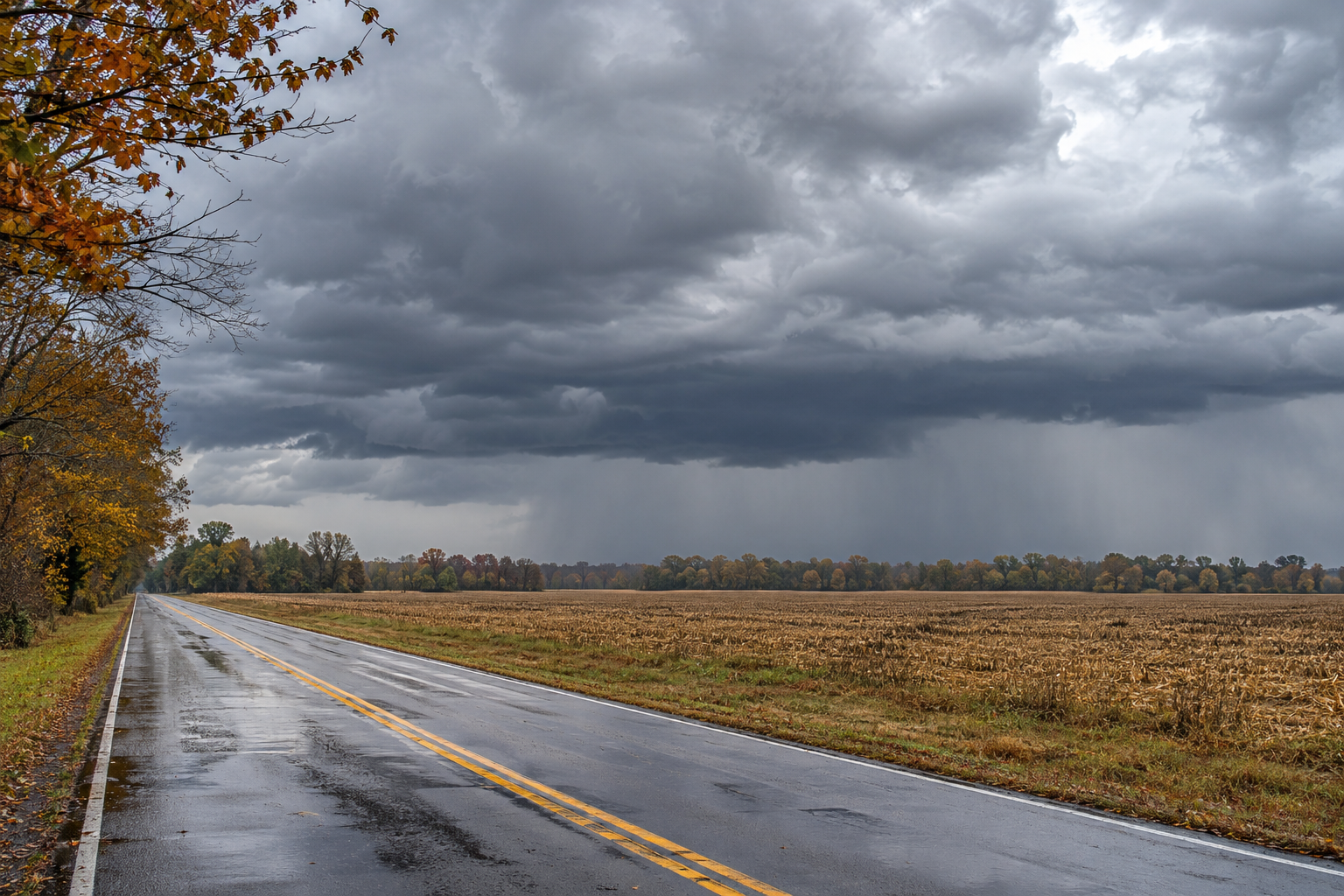
Thunderstorms shift into the Mississippi Valley today while South Florida faces another round of potentially flooding downpours. The National Weather Service’s November 3 national overview highlights isolated severe wind gusts and the possibility of brief tornadoes along an approaching front. Farther west, New Mexico begins drying out, although elevated rivers remain a concern, and Alaska’s exposed coasts and mountain passes stay windy. NWS source
This Tuesday briefing reflects forecasts checked around midday Eastern Standard Time. It separates reports of earlier conditions from what forecasters expect later today and Wednesday. A broad regional forecast cannot establish conditions at every address; follow the linked local discussions and current alerts for decisions about travel or outdoor plans.
Mid-South: wind before storms, then heavy rain
Memphis’ discussion issued at 5:55 a.m. Central Standard Time forecasts strong winds outside thunderstorms through midafternoon along and west of the Mississippi River. Northeast Arkansas and the Missouri Bootheel face sustained winds near 25 mph and gusts approaching 40 mph. A wind advisory covers specified counties until 3 p.m. Central time. NWS source
The office assigns a marginal severe-weather risk across much of the Mid-South this afternoon through late evening. Damaging winds are the main concern, with a secondary possibility of brief tornadoes embedded in a storm line. Persistent clouds and limited instability could restrain storm strength, but that uncertainty does not eliminate the need to monitor warnings. NWS source
As storms move east, the concern may shift toward heavy rainfall and localized flooding. Forecast storm totals are generally one to two inches, not a measurement of rain already received. Drier air should follow, with another front later in the week potentially bringing a cooler weekend. NWS source
South Florida: saturated neighborhoods face more downpours
Miami’s 7:21 a.m. Eastern Standard Time discussion expects rounds of showers and thunderstorms mainly from late morning through evening. The office describes eastern metropolitan areas as especially vulnerable after significant impacts Monday. That statement concerns earlier impacts; today’s additional rainfall remains a forecast rather than an observed total. NWS source
Rain chances peak around 60 to 70 percent in the forecast. Repeated showers or slow-moving storms could produce localized flooding, with isolated maximum accumulations around five inches possible. That high-end amount is not expected at every location. Storm placement and movement will determine which neighborhoods receive repeated bursts and which experience much less rain. NWS source
High tides and persistent onshore winds also sustain minor to moderate coastal flooding. Dangerous Atlantic marine and beach conditions continue today. Even if thunderstorm development remains limited, efficient heavy showers can still cause trouble, so a quieter sky between bands should not be taken as confirmation that the day’s water hazards have ended. NWS source
New Mexico: drier skies, lingering river levels
Albuquerque’s early Tuesday key messages, issued at 4:16 a.m. Mountain Standard Time, anticipate drier weather today and through the remainder of the week. Many rivers in northwestern and north-central New Mexico are nevertheless expected to remain near or above bankfull through Wednesday. Improving weather overhead does not immediately resolve accumulated runoff. NWS source
The 4:28 a.m. update reports that winds had strengthened in Union County during the preceding hours and extends the local wind advisory through 8 a.m. Mountain time. That was an early-morning observation and time-limited alert; it should not be presented as an advisory lasting all day. The latest local warning page remains the appropriate reference for current status. NWS source
Alaska: another pass-wind increase Wednesday
Fairbanks’ 2:04 a.m. Alaska Standard Time discussion forecasts a dry Tuesday with a mixture of sunshine and clouds across the central and eastern Interior. Gusts of 20 to 40 mph continue from Delta Junction toward Nenana through Wednesday afternoon. These exposed corridors can remain windy even when precipitation is limited. NWS source
Windy and Isabel passes could see gusts near 50 mph today before a temporary easing. Another increase Wednesday could bring gusts of 55 to 65 mph during the afternoon. Light snow is also possible Wednesday, particularly over Interior terrain and north of Fairbanks, with generally small accumulations rather than a widespread major snowstorm. NWS source
Coastal winds of 25 to 45 mph persist in western Alaska, with Bering Strait gusts potentially reaching 50 mph tonight. Along the North Slope, light snow and strengthening winds could reduce visibility through blowing snow. Check the route-specific forecast before assuming that broadly quiet weather means easy travel everywhere. NWS source
Keep the route and time in view
Keep each update attached to its place and forecast period. Conditions on a morning departure may differ from those on an evening return, especially when a front moves through. Recheck local alerts before leaving and allow time to change your route or postpone plans if conditions deteriorate along your intended journey.
National Weather Service flood guidance advises avoiding floodwater and respecting road barriers because the surface underneath may be damaged. NWS source
Source notes
November 3, 2026 forecast snapshot, checked around 12:20 p.m. Eastern Standard Time. November 3 products: Memphis 5:55 a.m. CST, including background discussion issued November 2 at 10:49 p.m.; Miami 7:21 a.m. EST; Albuquerque early key messages 4:16 a.m. MST and update 4:28 a.m.; Fairbanks 2:04 a.m. AKST. Only Albuquerque’s clearly timed early key messages and update are used because other subsection timestamps are inconsistent. Linked products update as new versions are issued. Article body: 750 words, excluding headings, source-link labels and these notes.