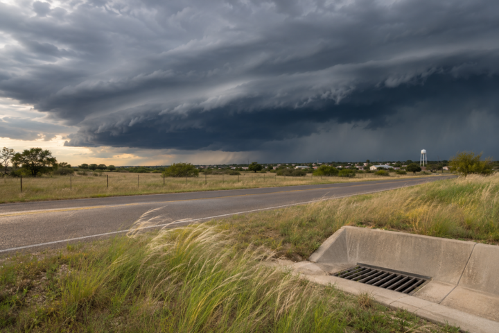
The most consequential weather decision today is along the Texas coast, where some communities have already received rain and more showers and thunderstorms could cause localized flash flooding, slow drainage and hazardous marine conditions through Sunday night.
The Weather Prediction Center’s 2:16 a.m. Eastern short-range discussion, valid from Sunday morning through Tuesday morning, keeps a Slight Risk of excessive rainfall across portions of southeastern Texas. It says a shortwave trough, frontal boundary and surface low will interact with warm Gulf moisture, supporting showers and thunderstorms from the southern Plains into the lower Mississippi Valley. The agency says strengthening southerly flow and instability may support organized storms capable of heavy rainfall rates.
Texas coast: observations and the next round are different
NWS Houston/Galveston’s 6:01 a.m. Central update reports that moderate rain near the Matagorda and Brazoria county beaches had produced 1 to 3 inches by that time. That is an observation from a specified part of the coast, not a regional total. The office says another batch of rain from north and north-central Texas will move across the region during the day, with localized heavy downpours possible. It also notes that the progression of the system may limit excessive totals in some places, while coastal counties remain the greater concern.
Houston/Galveston warns that elevated tide levels can slow drainage, especially near the coast. Before sending a crew or driving to a waterfront property, compare the local rainfall timing with the tide forecast and check current road conditions. Never drive through water-covered roads or use a regional outlook to judge the depth of water.
Marine conditions can become the limiting factor
For marinas, contractors and coastal property managers, wind and surf may become the operational limit before rainfall does. NWS Houston/Galveston says strong marine winds are expected through Monday, with Gale Warnings for Galveston Bay and Gulf waters and a Small Craft Advisory for Matagorda Bay. The Corpus Christi office also expects hazardous seas and gale conditions after a cold front, plus a high rip-current risk and increasing likelihood of minor coastal flooding overnight into Monday morning. Marine headlines apply to listed waters and periods; review the actual product before deciding to launch, work near a shoreline or move equipment by boat.
A practical decision framework is to set a trigger before conditions deteriorate: the first local warning, a tide-window conflict, winds reaching the project’s operating limit or a road closure on the access route. For example, a hypothetical crew assigned to inspect a coastal building could move the exterior portion of its work earlier, reserve an indoor task for later and identify a safe turnaround point. This is planning guidance, not a prediction that a site will flood or a substitute for emergency management direction.
North and central Texas: widespread rain, cooler temperatures
North and central Texas have a different timing and temperature story. NWS Fort Worth’s latest discussion calls for widespread rain with an 80% to 100% chance Sunday, along with isolated thunderstorms and well-below-normal temperatures. It expects the most saturated low-level conditions west of the Interstate 35 corridor and says some locations may struggle to leave the 40s Monday. The useful distinction is that a wet, cool day can affect access, drying and outdoor labor even where flash flooding is not the primary local hazard.
For a commercial property, schedule changes should be specific. Verify which deliveries require a dry loading area, which exterior tasks can safely pause and who will make the next weather check. Keep electrical work away from wet conditions and follow site safety rules. If a storm warning is issued, immediate protective action takes priority over completing a work sequence. Those are practical choices; they do not replace an employer’s safety plan, local authority instructions or a qualified professional’s judgment.
West and East: separate hazards, separate decisions
The national outlook also keeps rain and mountain snow in the West as a Pacific system moves inland. Travelers heading toward higher terrain should check the current pass forecast and transportation guidance shortly before departure because snow level, wind and road controls may change quickly. In the Mid-Atlantic and parts of the Southeast, cooler and drier conditions bring a different concern. NWS Wakefield reports Frost and Freeze headlines in portions of eastern Virginia and northeast North Carolina through Sunday morning, with chilly conditions continuing into Tuesday.
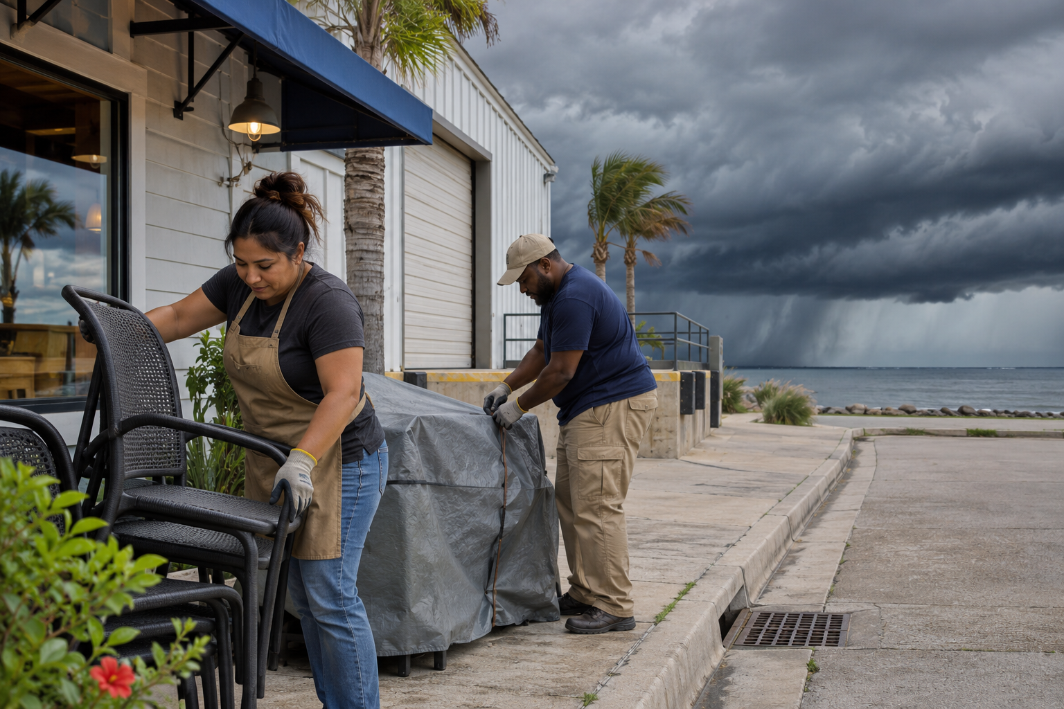
National weather coverage is most useful when it leads to a local decision, not when it substitutes for one. Follow the linked NWS offices, current alerts, road agencies and marine authorities for the place and time that matter to you. The representative illustration shows a plausible preparation scene; it is not a photograph of today’s Texas weather or evidence that damage has occurred.