Sunday’s weather priorities
Sunday’s national weather concerns center on three distinct regions: New Mexico and the western High Plains, South Florida, and western Alaska. The National Weather Service highlights heavy rain, thunderstorms and coastal hazards, but the details vary sharply by location. This October 25 overview focuses on the areas drawing attention in current federal forecasts, rather than suggesting that every part of the country faces the same conditions. NWS source
For readers making plans, the practical task is to connect a national headline with a local forecast. A storm affecting a mountain pass, an urban neighborhood or an exposed coastline can produce very different problems. Check the forecast for both your destination and the route, and read the time period carefully before deciding what the outlook means for your day.
New Mexico: saturated ground raises the stakes
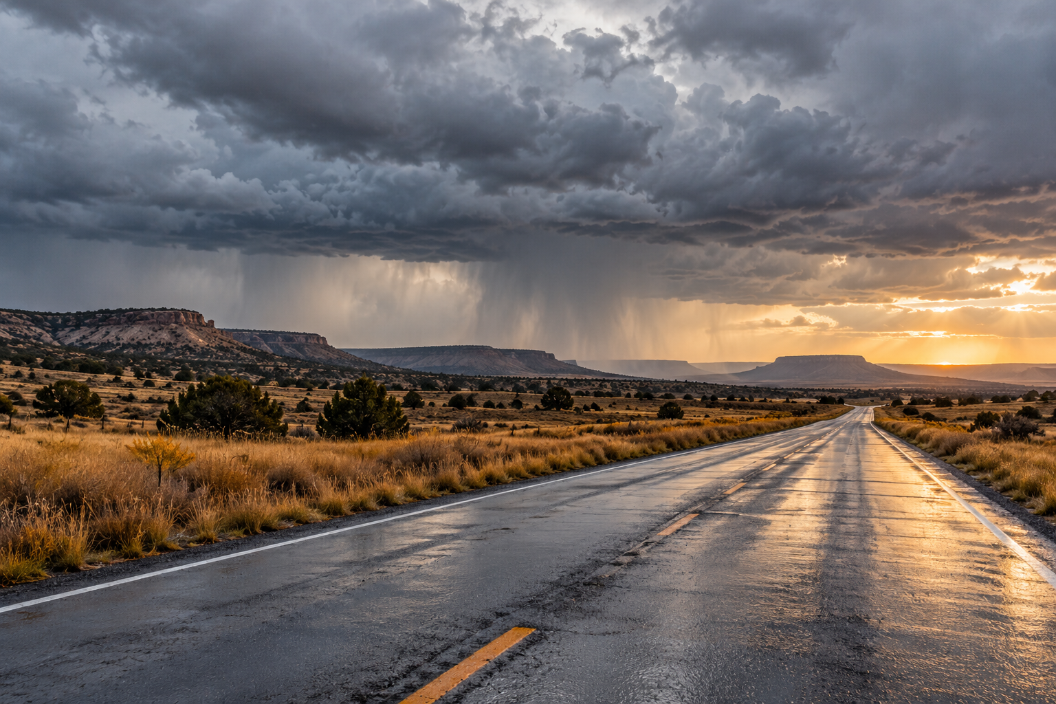
Albuquerque’s discussion, updated at 5:47 a.m. Mountain Daylight Time Sunday, forecasts another round of showers and thunderstorms. East-central and southeastern areas could see severe storms this afternoon, primarily bringing large hail and damaging winds, with a smaller possibility of an isolated tornado. River flooding is expected to continue in parts of central and northwestern New Mexico. NWS source
The flooding concern also reaches beyond the places expecting the heaviest totals. Forecasters describe ground already saturated by earlier rainfall, making additional moderate rain enough to cause trouble in some northwestern and west-central areas. That assessment concerns existing soil conditions; the additional rainfall remains a forecast. NWS source
Expected rain through tonight generally ranges from about one-quarter inch to two inches along and east of the central mountains, with locally higher amounts possible. The highest Sangre de Cristo peaks could receive several inches of snow. Conditions should become drier and warmer after lingering eastern showers Monday, according to the same discussion. NWS source
South Florida: tides, wind and localized rain
Miami’s 7:31 a.m. Eastern Daylight Time discussion puts coastal flooding and gusty winds alongside the rainfall concern. Moderate flooding is expected around high tides, and major coastal flooding remains possible into early next week. These are forecast hazards, not a report that every coastal street is currently underwater. NWS source
Showers and some thunderstorms are expected especially around the Atlantic metropolitan areas today. The office’s detailed discussion tempers the broad heavy-rain headline: fast-moving showers should limit the overall excessive-rain risk, although repeated showers over one location could still cause isolated flooding. Rain chances and the flooding threat are expected to decrease Monday as deeper moisture shifts offshore. NWS source
Winds deserve a separate check even during rain-free intervals. Forecasters anticipate northeast winds around 20 to 25 mph, with gusts commonly reaching 30 to 35 mph and occasional stronger gusts possible. Hazardous beach and marine conditions are expected to continue into the week. A pleasant-looking break between showers does not by itself establish safe conditions on the water. NWS source
Alaska: another sequence of systems
The latest Fairbanks discussion available for this review was issued at 3:59 p.m. Alaska Daylight Time Saturday. It anticipates additional Bering Sea systems Sunday into Monday and Monday into Tuesday, renewing rain, snow, wind and coastal flooding concerns in western Alaska. The publication date matters: these Sunday details come from a Saturday forecast, not a fresh Sunday observation. NWS source
That discussion reports that earlier coastal water levels had crested and winds had started easing, while warning that elevated water and high surf would persist. New watches address the next systems, including coastal flood potential from the Bering Strait north toward Point Lay and possible strong winds in exposed western coastal areas. NWS source
Interior travelers face a different mix: rain and snow, possible pockets of freezing rain, and blowing snow in higher terrain. The Brooks Range and Alaska Range passes can have substantially different conditions from nearby valleys. Consult the current local warning and road information before treating a regional forecast as a route-specific answer. NWS source
Keep the day’s decisions local
A useful morning check starts with the location, the forecast issuance time and the period covered. Keep those three details together when sharing weather information with family or coworkers. A screenshot without its date can travel much farther than its useful life, especially during a changing weekend pattern.
Separate what has happened from what may happen next. Reported rain, measured winds and observed water levels describe past conditions. Forecast totals and possible gusts describe expectations. Neither a national summary nor an earlier update can replace the newest local information when you need to make a specific outdoor decision.
Across these regions, avoid driving or walking into floodwater. The National Weather Service warns that submerged pavement may be damaged and that moving water can sweep people and vehicles away. Obey closures, choose another route, and keep enough flexibility to change plans when local conditions deteriorate. NWS source
Source notes
Forecast snapshot checked October 25, 2026, around 8:35 a.m. Eastern. Albuquerque: October 25, 5:47 a.m. MDT; Miami: October 25, 7:31 a.m. EDT; Fairbanks: October 24, 3:59 p.m. AKDT. Linked discussions update as new versions are issued. The article body is 750 words, excluding headings, link labels and these notes.