Tuesday’s national weather priorities
Tuesday brings a growing mountain-snow concern in the Pacific Northwest, unsettled conditions in the Northern Rockies, and another stretch of active weather in Alaska. South Florida remains a separate coastal trouble spot, where high tides and persistent northeast winds matter even when showers move through quickly. The National Weather Service’s national overview continues highlighting Pacific precipitation and Bering Sea systems, while local discussions explain the timing and differences within those broad regions. NWS source
This October 27 outlook is a forecast snapshot. It identifies where to pay attention without assigning the same conditions to every community. The most useful details are often specific: the elevation where rain changes to snow, the overnight hour when wet pavement may freeze, or the tide cycle that can interrupt a coastal route.
Cascades: snow reaches lower elevations tonight
Seattle’s discussion issued at 3:20 a.m. Pacific Daylight Time describes showers on radar near the central and southern Washington coast early Tuesday. That is an observation from the morning report. The office then forecasts additional showers today, with snow initially confined mainly to elevations around 4,500 to 5,000 feet. NWS source
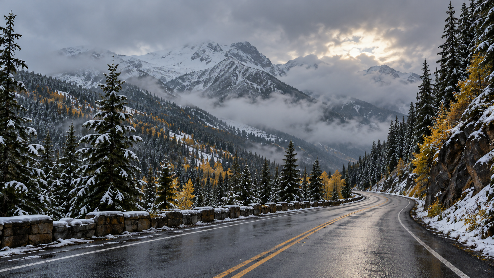
The change arrives tonight as cooler air lowers snow levels to approximately 3,500 to 4,000 feet. Forecasters expect up to four inches of new Cascade snow overnight, followed by potentially another four inches Wednesday, with locally higher totals near Mount Rainier and farther south. A Winter Weather Advisory for the Cascades covers tonight and Wednesday in that forecast package. NWS source
Further cooling could bring snow levels down to 2,500 to 3,500 feet Wednesday night into Thursday. That places many passes within reach of light snow. These amounts and elevations describe expected conditions, not verified snowfall on a particular highway. Check the latest pass report before traveling. NWS source
Northern Rockies: a cooler, showery stretch
Missoula’s 4:07 a.m. Mountain Daylight Time discussion describes precipitation moving through northwestern Montana, with snow levels near 5,000 feet and possible accumulation around Marias Pass. Elsewhere, scattered Tuesday showers are forecast alongside temperatures roughly five degrees below seasonal averages. NWS source
Another disturbance should increase showers late tonight into Wednesday morning, particularly from north-central Idaho into northwestern Montana. Cooler air near the Continental Divide could lower snow levels toward 3,000 feet Wednesday night into Thursday morning, allowing some accumulation near West Glacier and Hungry Horse if showers persist. Later-week warming may raise snow levels again. The progression makes elevation and departure time essential parts of a travel check. NWS source
South Florida: coastal flooding outlasts brief showers
Miami’s update at 7:22 a.m. Eastern Daylight Time reduced Tuesday rain chances somewhat, placing them around 40 to 60 percent over Atlantic metropolitan areas. Forecasters still expect quickly moving showers, brief heavier bursts and gusty northeast winds. A lower shower probability does not cancel the separate coastal-water hazard. NWS source
The office continues forecasting major coastal flooding around high tides over the next couple of days, with coastal roads vulnerable to inundation. Its morning update projected tide levels approaching moderate to borderline major flooding later that morning. That was a time-specific forecast, rather than confirmation that those levels subsequently occurred. NWS source
Wind gusts around 30 to 40 mph remain possible along eastern metropolitan areas and beaches Tuesday, with dangerous marine and beach conditions continuing into midweek. Winds should begin easing as the pressure pattern relaxes later Wednesday and Thursday. Use current coastal alerts and local closures to guide plans instead of judging conditions solely by the amount of rain. NWS source
Alaska: a brief Interior break before renewed weather
Fairbanks’ 5:58 a.m. Alaska Daylight Time discussion anticipates clearer, drier Interior conditions Tuesday afternoon. Temperatures dropping into the teens and lower twenties tonight could refreeze wet or slushy areas, creating slick travel into Wednesday. The report describes Monday snow changing to rain as past conditions; tonight’s refreezing remains a forecast. NWS source
Western Alaska faces fresh precipitation Tuesday, followed by another moisture-bearing front Wednesday. The office expects additional weather from Typhoon Champi’s remnants later in the week, including wind, precipitation and coastal impacts. Alaska Range pass winds could strengthen sharply Wednesday night and again Thursday. A short dry interval inland should therefore be viewed as a pause within an active pattern, not a statewide all-clear. NWS source
Plan around the route
Keep the date and forecast period visible when forwarding an update. A warning for a mountain zone does not describe every valley nearby, and an afternoon improvement may not last overnight. Compare the latest local forecast with the conditions along your actual route, then allow enough flexibility to change departure times or postpone travel.
For winter travel, National Weather Service preparation guidance recommends checking road information, keeping vehicle equipment in working order, carrying essentials and telling someone your route and timetable. Recheck conditions before leaving, especially when a return trip crosses higher terrain after dark. NWS source
Source notes
October 27, 2026 forecast snapshot, checked around 12:20 p.m. Eastern. Discussions issued October 27: Seattle 3:20 a.m. PDT; Missoula 4:07 a.m. MDT; Miami 7:22 a.m. EDT; Fairbanks 5:58 a.m. AKDT. Linked products update as new versions are issued. Article body: 750 words, excluding headings, source-link labels and these notes.