Thursday’s national weather highlights
Alaska’s powerful winds and mixed precipitation share the national spotlight with a developing heavy-rain pattern across the Southwest and southern High Plains. The National Weather Service’s October 29 overview highlights a multiday flash-flooding threat extending through the weekend, while high surf remains a concern for Florida. Western Washington, meanwhile, stays cool and showery before a potentially quieter stretch. NWS source
This Thursday briefing separates immediate hazards from later forecast changes. Rain expected tonight is not a measured rainfall total, and a warning for an exposed mountain pass does not apply equally to every nearby town. Use these regional highlights to identify the local products worth checking before departure.
New Mexico: rainfall arrives in stages
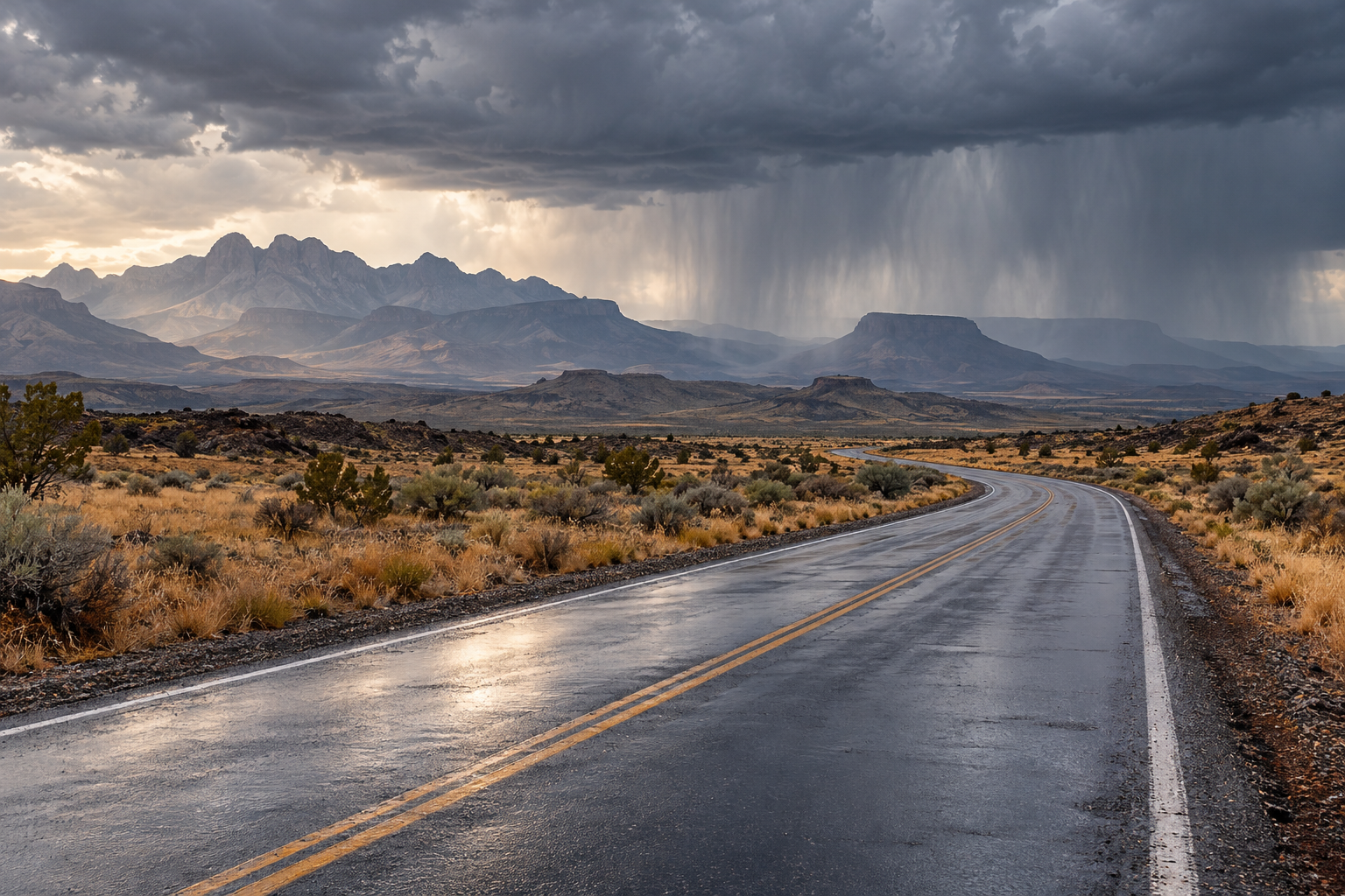
Albuquerque’s discussion updated at 5:48 a.m. Mountain Daylight Time forecasts locally heavy rain over southern New Mexico today, shifting toward southeastern and eastern areas tonight into early Friday. Forecasters expect storms to develop near the Sacramento Mountains during the afternoon, with repeated passages possible over vulnerable burned terrain. NWS source
A flood watch for the Ruidoso-area burn-scar zone covers noon through 8 p.m. Mountain time Thursday. The discussion also notes that river flooding persists in parts of central and northern New Mexico through at least Friday. Those existing river concerns are separate from the new flash-flood potential associated with thunderstorms. NWS source
Looking farther ahead, another Pacific system could bring substantial rain to western New Mexico and the Four Corners late this weekend into early next week. Forecasters express increasing confidence in that broader wet pattern, while the intensity of individual downpours remains less certain. Already wet soils could make prolonged moderate rain consequential, even without exceptional short bursts. NWS source
The national overview places this within a wider southern High Plains and Southwest flooding concern. Keep checking forecasts for your actual destination rather than extending one New Mexico watch boundary across the entire region. NWS source
Alaska: strong pass winds and slippery roads
Fairbanks’ 6:45 a.m. Alaska Daylight Time discussion identifies light freezing rain as likely around Nenana, Fairbanks and North Pole into Thursday. Further rain and snow chances Thursday night through Friday could maintain hazardous road conditions. These are forecast travel impacts; the discussion does not establish ice coverage on every street. NWS source
High Wind Warnings cover the Northern Denali Borough and the eastern Alaska Range north of Trims Camp from this afternoon through Friday. Southerly winds of 30 to 50 mph, with gusts reaching 70 to 85 mph, could accompany blowing snow and reduced visibility along portions of the Richardson and Parks highways. NWS source
Western Alaska gets only a brief Thursday-morning pause before widespread rain and snow move inland tonight and Friday with Champi’s remnants. Around Hooper Bay and the Yukon Delta, water levels forecast at 2.5 to 3.5 feet above the normal high-tide line could flood low areas through late Friday night. Mountain snowfall adds another complication for regional travel. NWS source
Florida: easing winds do not end coastal flooding
Miami’s 7:24 a.m. Eastern Daylight Time update continues forecasting moderate to major coastal flooding around today’s high tide, followed by moderate flooding into the end of the week. Coastal road inundation remains possible even as beach and marine conditions gradually improve. That distinction matters when skies appear relatively quiet. NWS source
The morning discussion places afternoon rain chances generally around 30 to 40 percent at most, with a few showers and perhaps an isolated thunderstorm. High temperatures should reach the middle to upper eighties. A wetter pattern is forecast to emerge over the weekend, with more widespread afternoon showers and thunderstorms possible Sunday into Monday. Those later storm chances are separate from today’s tidal-water hazard. NWS source
Western Washington: showers now, improvement later
Seattle’s 3:29 a.m. Pacific Daylight Time discussion reports radar showers across much of western Washington around 3 a.m., with temperatures in the forties. Those were early-morning observations. The forecast keeps occasional showers Thursday and Friday, snow levels near 3,000 to 3,500 feet, and relatively small new mountain accumulations because precipitation amounts remain light. NWS source
Lowland highs are expected in the lower to middle fifties. By Saturday, showers may become mainly coastal, followed by a building ridge Sunday. That possible improvement should not be read backward into Thursday’s forecast or treated as a guarantee for every trail and pass. NWS source
Make the next update local
Keep the time stamp with any forecast you share. A regional summary is most useful when readers can distinguish a morning observation from an overnight prediction, and can follow the source link to see whether the outlook has changed.
Where water covers a road, choose another route. National Weather Service flood guidance warns against driving around barriers or walking into floodwater; the surface underneath may be damaged. Check local alerts, closures and the forecast period again before setting out, especially when a return journey falls after dark. NWS source
Source notes
October 29, 2026 forecast snapshot, checked around 12:25 p.m. Eastern. October 29 discussions: Albuquerque updated 5:48 a.m. MDT; Fairbanks 6:45 a.m. AKDT; Miami 7:24 a.m. EDT; Seattle 3:29 a.m. PDT. National overview checked October 29. Linked products update as new versions are issued. Article body: 750 words, excluding headings, source-link labels and these notes.