Friday brings several different weather clocks
A wet Southwest weekend, powerful Alaska pass winds, and renewed Florida rainfall are the main planning concerns in today’s national weather briefing. The National Weather Service’s October 30 overview continues highlighting Bering Sea storms and a multiday flash-flooding threat across parts of the southern High Plains and Southwest. Florida’s high surf remains another separate concern. NWS source
Friday’s conditions will not necessarily describe Saturday or Sunday. Some regions get a temporary break before heavier rain returns, while others face their strongest winds sooner. The details below distinguish early observations from forecasts and identify when later hazards could develop. These regional highlights should lead readers to current local alerts, rather than replace them.
New Mexico: a quieter interval before Sunday’s hazards
Albuquerque’s discussion updated at 5:49 a.m. Mountain Daylight Time expects eastern New Mexico showers and patchy fog to persist through this morning. Rain may slightly increase arroyo and river flows. Another round of mainly light rain should spread from western areas toward the central mountains tonight into Saturday morning, then diminish around midday. NWS source
Forecasters expect a relatively quiet Saturday afternoon, but the larger concern arrives Sunday into Monday. Persistent rain over already saturated western New Mexico soils could produce localized flooding. Most western areas are forecast to receive roughly one half to two inches, with isolated higher totals possible. A flood watch near and west of the Continental Divide begins Sunday morning. NWS source
Central and eastern New Mexico face a different Sunday-night threat: severe thunderstorms capable of hail, damaging wind and tornadoes. These are forecast hazards, not reports that such storms have already occurred. The potential break Saturday therefore offers planning time, without resolving the later storm and runoff concerns. NWS source
Alaska: exposed passes remain a travel concern
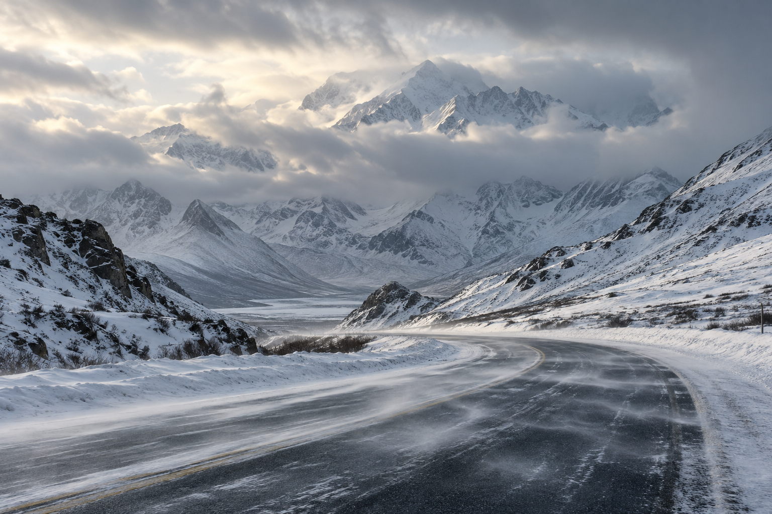
Fairbanks’ 6:49 a.m. Alaska Daylight Time discussion forecasts gusts up to 70 mph at Windy Pass and potentially 85 mph at Isabel Pass north of Trims Camp. The Isabel Pass High Wind Warning extends into early Saturday morning; warnings for Windy Pass and the Delta Junction area run through Friday afternoon in that forecast package. NWS source
Blowing snow could sharply reduce visibility in exposed terrain. Snowfall on the Alaska Range’s southern slopes continues into Saturday, with forecast amounts of four to eight inches along the Parks Highway and six to twelve along the Richardson Highway. Those amounts apply to the discussed mountain areas, not every mile of either route. NWS source
The report describes precipitation spreading northeast overnight as an observation of the evolving system. Looking ahead, rain and snow showers should gradually diminish over the weekend across western areas, with temperatures trending closer to seasonal levels. A possible freezing-rain transition zone adds uncertainty to precipitation type farther inland. NWS source
South Florida: coastal water and weekend rain overlap
Miami’s 7:44 a.m. Eastern Daylight Time update forecasts minor to moderate coastal flooding into the weekend, with inundation possible along coastal roads. Friday itself should bring only isolated showers, rain chances around 20 to 40 percent, and afternoon temperatures in the middle to upper eighties. Low thunderstorm chances do not remove the tidal hazard. NWS source
Rain chances increase Saturday as deeper moisture arrives and an approaching disturbance begins changing the pattern. Sunday into Monday is expected to be the wettest period, with general rainfall of one to three inches and locally higher amounts potentially causing flooding. The disturbance’s eventual track and speed remain important sources of uncertainty. NWS source
Atlantic boating conditions are forecast to deteriorate tonight as winds and seas increase, with hazardous conditions continuing through the weekend. Check marine and coastal alerts separately from an inland temperature forecast; pleasant warmth can coexist with dangerous water conditions. NWS source
Western Washington: showers give way to a colder night
Seattle’s 3:14 a.m. Pacific Daylight Time discussion reports early showers from Puget Sound westward and temperatures in the forties. More widespread afternoon showers are forecast, followed by a rapid reduction this evening. Highs should stay near the lower fifties. NWS source
Clearing could allow upper-twenties temperatures in portions of the southwest interior and Chehalis Valley tonight. A freeze watch covers specified lowland zones into Saturday morning. Elsewhere, overnight lows generally range through the thirties and lower forties. Showers retreat toward the coast, with a sunnier Sunday afternoon possible after morning fog or low clouds. NWS source
Keep the forecast attached to its time
When sharing this briefing, preserve its date and the named region. An afternoon improvement in one valley cannot establish conditions across a mountain pass, and a weekend outlook may change before departure. Open the linked forecast again for the latest local details available.
Before leaving, compare the alert period with both legs of your trip. National Weather Service flood guidance advises avoiding flooded roads and respecting barriers because pavement beneath the water may be damaged. Leave room to change your route when local conditions or official closures change. NWS source
Source notes
October 30, 2026 forecast snapshot, checked around 12:20 p.m. Eastern. October 30 discussions: Albuquerque updated 5:49 a.m. MDT; Fairbanks 6:49 a.m. AKDT; Miami 7:44 a.m. EDT; Seattle 3:14 a.m. PDT. National overview checked October 30. Linked products update as new versions are issued. Article body: 750 words, excluding headings, source-link labels and these notes.