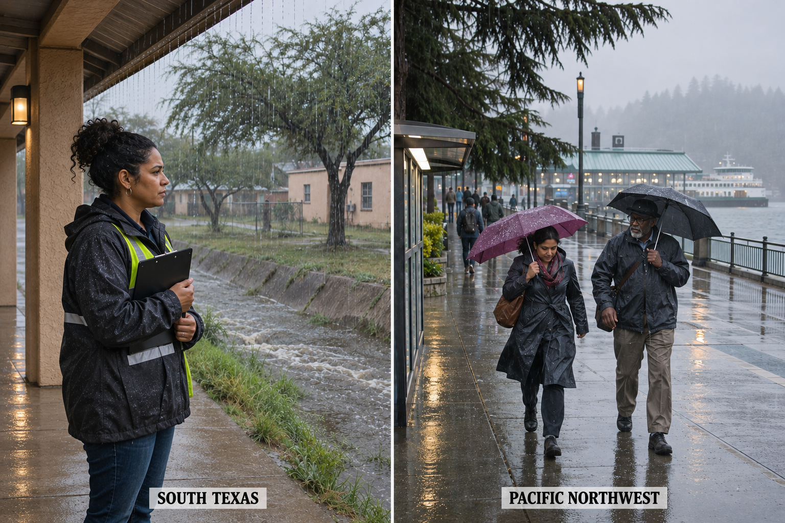
Additional rain keeps South Texas in focus
Additional downpours in South Texas and another Pacific front approaching the Northwest are Monday’s main weather concerns for property owners and travelers. The immediate question is where rain will arrive on already wet ground, while a separate, longer-range concern is developing for part of western Washington later this week.
The Weather Prediction Center’s national forecast, issued at 2:59 a.m. EST Nov. 9, keeps a risk of localized flash flooding over eastern South Texas today. Its outlook covers the period through 7 a.m. EST Wednesday. The heavy-rain threat is expected to diminish toward evening, rather than disappear everywhere at the same hour.
The National Weather Service in Brownsville forecasts another 1 to 2 inches through Monday night, with isolated amounts as high as 4 inches possible. Its discussion favors the strongest concentration of showers east of Interstate 69C, while noting uncertainty about exactly where the heaviest rain will fall.
That forecast follows rain already recorded or estimated Sunday. Brownsville forecasters report general accumulations of 1 to 2 inches, with pockets of 4 to 5 inches across coastal counties. They say wet soils leave parts of the region more vulnerable to flooding from additional rainfall. The earlier totals and today’s forecast amounts should not be confused.
For a hypothetical household planning a trip across the region, the useful response is to check alerts and road conditions immediately before departure and keep an alternate route available. A lighter shower at home does not establish conditions at a distant crossing. NWS flood travel guidance advises against driving or walking into floodwater.
Before leaving a property unattended in a rain-threat area, check how you will receive a warning and who can respond if a local official issues instructions. Keep that contact arrangement separate from plans to inspect damage; no forecast summary establishes that a building is safe to enter after water recedes.
Northwest rain returns before another round Tuesday
The Seattle Weather Service’s early Monday discussion describes a brief morning lull before rain reaches the coast around midday and spreads inland during the afternoon. The front moves through this evening, with that round of rain expected to end around midnight. Monday evening winds are forecast below land-based advisory strength.
A second front follows quickly Tuesday morning with more rain and increasing wind. Seattle forecasters say coastal areas and the northwest interior may need wind advisories with that system. Those possible future advisories should not be described as already issued land warnings. Marine warnings are separate and apply to their specified waters.
For work crews, the gap between systems is a scheduling detail, not a broad all-clear. A hypothetical team planning an outdoor task should review the destination forecast, the expected finish time and return travel. If work shifts from Monday to Tuesday, the wind outlook needs another check.
Later in the week, Seattle forecasters expect an atmospheric river to linger near western Washington Friday into Saturday. Their hydrology discussion identifies a late-week flooding threat for the Skokomish River, while not expecting river flooding through Thursday. This is a developing forecast concern, not a report that the river is flooding now.
Showers cross the northern tier as warmth spreads
The national forecast brings scattered showers to the lower Great Lakes and interior Northeast today, with another round expected Tuesday night into Wednesday morning. The pattern is more intermittent than a continuous nationwide rain event. A dry interval at one stop may not match conditions farther along a route.
Much of the remaining country is forecast to stay mostly dry. High temperatures generally reach the 50s and 60s across the northern tier and the 60s and 70s farther south, with 80s in parts of southern California, the Desert Southwest and Florida. Clouds and precipitation keep parts of southern Texas and the Four Corners comparatively cooler.
Afternoon warmth does not remove the need to check overnight temperatures. The Weather Prediction Center expects another chilly night in parts of the Tennessee Valley and Southeast before milder air expands. Check the local forecast for tonight rather than treating a morning frost advisory as a standing alert for every later period.
Use the current local alert for the final decision
Keep a dated note of the forecast used for a work decision. If an assignment is delayed, review updated timing rather than forwarding an old alert without its expiration or specific location details.
A watch and a warning describe different situations: a watch means conditions favor a hazard, while a warning means the hazard is imminent or occurring. Follow local instructions and refresh the forecast when plans change. This national briefing summarizes regional conditions; it cannot establish the weather or safety of an individual property.