A colder pattern takes shape
Wednesday’s national weather story is a transition toward colder conditions in the central and eastern United States, with local concerns that require different responses. Great Lakes communities face showers followed by a developing lake effect pattern, while east-central Florida has both a conditional storm threat and continuing river flooding. North and Central Texas face a quieter frontal passage before another rain opportunity this weekend.
The Weather Prediction Center’s short-range discussion issued Tuesday covers the period through 7 a.m. Eastern Thursday. It describes a strengthening weather system moving toward the Appalachians, increasing winds and falling temperatures behind it. That earlier national outlook provides context; Wednesday’s local National Weather Service discussions supply the more specific regional details below.
The practical distinction is timing. Rain today, a colder night and possible mixed precipitation later in the week are separate stages, not evidence that winter conditions have already arrived everywhere. Check the forecast for both your departure point and destination when planning work or travel across the changing pattern.
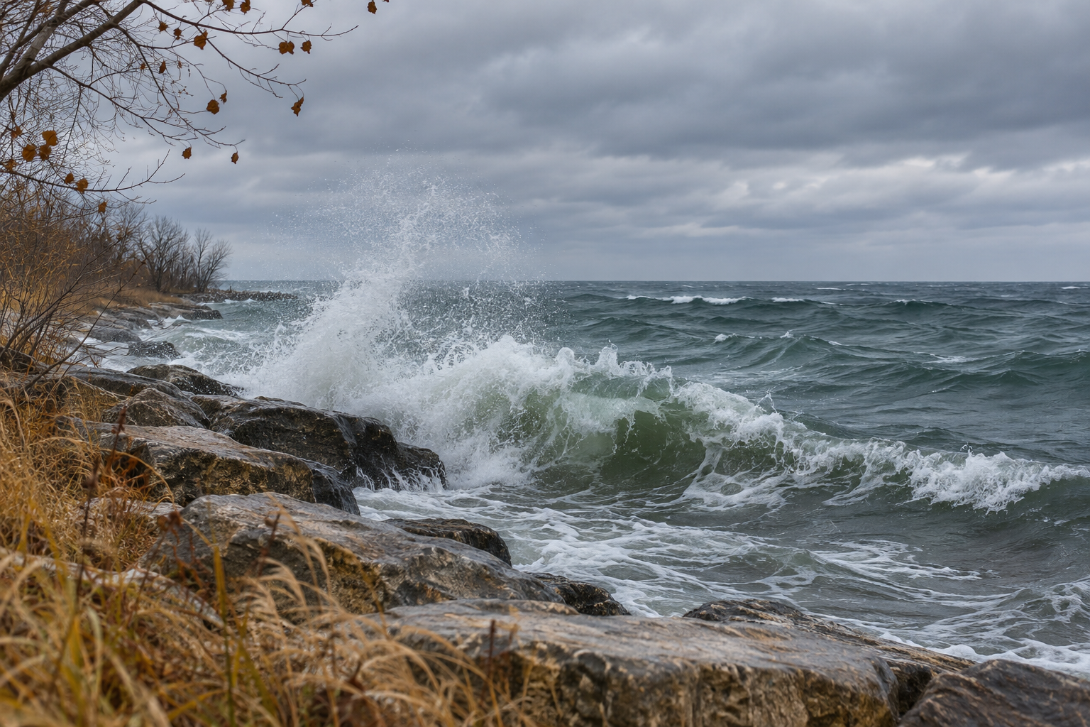
Great Lakes: Showers first, lake effect later
NWS Chicago’s 6:11 a.m. Central discussion forecasts scattered showers Wednesday, with a few lightning strikes possible well south of Interstate 80. Its discussion places the more likely marginal strong-storm concern farther south rather than presenting a severe-weather outbreak as the expected local outcome.
The next phase is colder and more persistent near Lake Michigan. Forecasters expect lake effect showers Thursday through early Saturday, primarily in northwest Indiana, with rain potentially mixing with or changing to snow at times. Blustery northerly winds Thursday will accompany the cooling.
Importantly, the office says impactful wet snow is not the most likely local outcome at this point. Relatively warm lake and ground conditions complicate accumulation. That qualification matters for readers comparing a forecast mentioning snowflakes with an assumption that roads will necessarily become snow-covered.
For a hypothetical crew traveling from Illinois into northwest Indiana, the useful check is the route-specific forecast and its timing. A general regional label cannot establish conditions along every segment of the trip. Revisit the forecast before departure rather than relying on Wednesday morning’s overview alone.
Florida: Storm potential and river flooding differ
NWS Melbourne’s 6:21 a.m. Eastern update retains a 30% to 40% chance of rain and widely scattered storms Wednesday, with the greatest coverage south of Orlando toward the Treasure Coast during the afternoon and evening. The strong-to-severe storm threat is low and conditional, with damaging gusts and hail possible if stronger storms develop.
The same office reports continuing St. Johns River flooding associated with last week’s exceptional rainfall upstream. Its hydrology discussion describes river levels holding steady or slowly rising over the next several days. This is an ongoing river concern, distinct from a forecast of widespread heavy rain Wednesday.
A cold front is forecast to cross central Florida Thursday night, followed by cooler conditions Friday and Saturday. Those later temperature changes do not cancel the existing river issue. Readers near the river should use the latest point forecasts and warning information alongside the ordinary weather forecast.
Texas: A dry front before the next rain chance
NWS Fort Worth’s 5:42 a.m. Central update reported patchy, locally dense rural fog expected to lift by midmorning. That was an early-morning condition and forecast, not confirmation that fog remains widespread at publication time.
The office expects a weak front to cross North and Central Texas Wednesday afternoon without rain, bringing a northerly wind shift. Temperatures trend closer to seasonal levels afterward. Its longer-range forecast puts the next broader rain opportunity between Saturday night and Monday morning, with uncertainty in the system’s placement and strength affecting eventual totals.
For property teams, the distinction is useful: a dry frontal passage today does not describe the entire weekend outlook. Match outdoor inspections and temporary work arrangements to updated local timing instead of assuming the current dry period will continue unchanged.
West Coast: Watch the later-week outlook
Farther west, the Weather Prediction Center’s extended outlook issued Tuesday places another period of West Coast precipitation later this week. Its Friday-through-Tuesday forecast describes successive systems bringing rain and mountain snow, with lower snow levels accompanying colder conditions in parts of California. This is a planning outlook rather than a statement that those impacts are occurring Wednesday. Anyone scheduling mountain travel should check the local forecast closer to departure, because the specific elevation, route and arrival time matter.
Use the briefing as a starting point
This briefing highlights selected consequential developments; it is not a forecast for every state or address. Follow the linked weather offices for updates, and compare forecast issuance times before making a decision. Observations describe what has been reported; forecasts describe what may happen next. Neither a representative illustration nor a national summary replaces current local warnings.