Wednesday brings changing hazards across the country
A front moving through the Lower Ohio Valley and Southeast brings another opportunity for thunderstorms and isolated heavy rain today. Florida’s weather is beginning to improve, but river flooding and coastal hazards outlast the heaviest showers. Across the country, western Washington approaches a wetter, windier pattern, while Alaska’s exposed passes and Arctic coastline face gusty winds and reduced visibility. NWS source
This November 4 briefing reflects forecasts checked around 12:40 p.m. Eastern Standard Time. It identifies earlier observations separately from expected conditions later today and this week. A regional highlight is a starting point: current local warnings, river forecasts and road information remain essential for decisions along a specific route.
Southeast: storms today, cooler weather later
Birmingham’s discussion issued at 5:23 a.m. Central Standard Time places eastern portions of Alabama under a marginal severe-weather risk, the lowest category on the five-level scale. Damaging winds and an isolated tornado are the principal severe concerns. The forecast describes possibilities for today rather than confirming that either hazard has occurred at a particular location. NWS source
The background discussion, issued Tuesday night, also identifies potential for locally heavy rain, especially across the northern half of central Alabama. A frontal passage should move precipitation out of central Alabama by late Thursday evening. Those timing details are approximate and should be checked against newer updates as the system progresses. NWS source
Behind the front, colder air is expected by the weekend. Forecast overnight temperatures fall into the forties and potentially the middle to upper thirties in some locations. Frost could become a concern as early as Saturday night, but the discussion describes a possible future advisory, not an advisory already issued for the whole area. NWS source
Florida: less rain does not immediately end flooding
The national overview forecasts significant flooding along the Saint Johns and Peace rivers through the end of the week, with water levels slow to recede. That is a different hazard from a passing shower over a city street. People near affected rivers should use the latest river-specific forecast rather than assume clearer skies mean lower water. NWS source
Miami’s 6:30 a.m. Eastern Standard Time update reports repeated overnight storms around northern Broward County, where flash flood warnings and flood advisories had been necessary. That describes earlier activity. Its forecast keeps the greatest additional rainfall concern near the Atlantic coast during the morning, followed by a gradual drying trend. NWS source
Minor coastal flooding remains possible around high tide, and dangerous Atlantic beach conditions continue today. Onshore flow sustains a high rip-current risk before improvement begins tonight. Thursday should be substantially drier as high pressure and drier air build in, with rain chances falling sharply during the afternoon. Local flooding can still persist where drainage or rivers respond slowly. NWS source
Western Washington: a dry day before the next fronts
Seattle’s 2:30 a.m. Pacific Standard Time discussion forecasts one more mostly dry day, with morning fog in some areas, increasing clouds and afternoon temperatures in the fifties. A front arriving tonight should bring rain to the coast and mountains, while interior amounts are generally forecast below one tenth of an inch. NWS source
A wetter system follows late Thursday into Friday. Forecast totals through Friday night reach one to two inches along the coast and Olympics, up to an inch in the Cascades, and roughly one half to one inch inland. Windy conditions are expected along the coast and north interior, although confidence in particularly strong winds remains low. NWS source
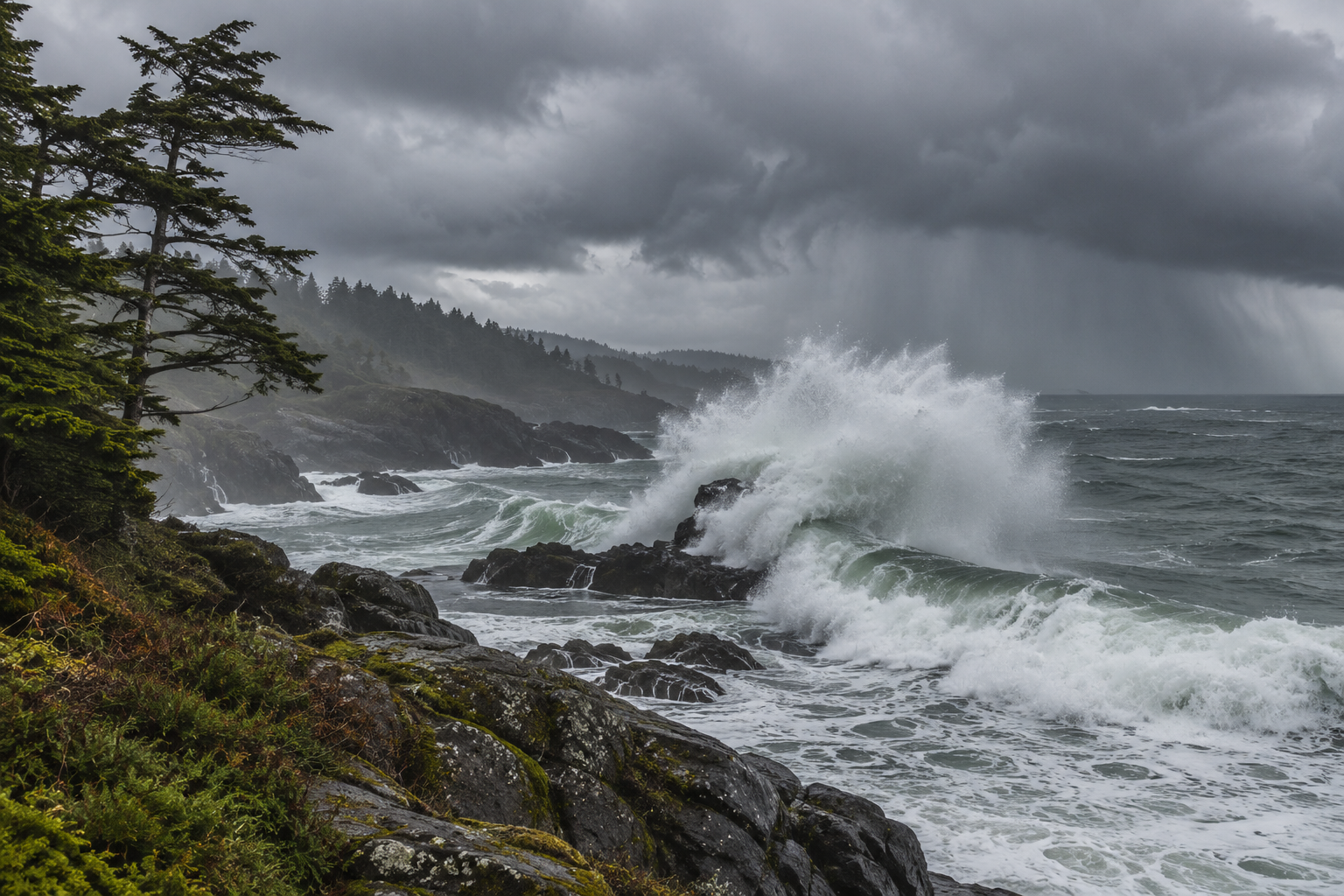
Coastal seas may build to around fifteen to eighteen feet Friday, with higher outcomes possible. Those are forecast wave conditions, not measured heights today. The sequence makes marine plans especially sensitive to timing, even when Wednesday afternoon appears relatively calm on land. NWS source
Alaska: wind and light snow can limit visibility
Fairbanks’ 4:01 a.m. Alaska Standard Time discussion forecasts Isabel Pass gusts up to 65 mph through this evening. Delta Junction winds should gradually ease after morning gusts around 25 to 45 mph. A weak Interior front may produce flurries or light snow, mainly over terrain, with a coating to two inches possible. NWS source
Along the Arctic coast from Utqiagvik to Kaktovik, light snow and gusts of 30 to 50 mph could reduce visibility to one half mile or less at times through Friday. These exposed coastal conditions differ from the mostly dry forecast across much of the Interior. NWS source
Check the return journey too
Keep the date, location and forecast period with any update you share. A quiet outbound trip may be followed by deteriorating weather on the return. Compare both journeys with the latest local forecast, and leave flexibility to change departure times when a front, tide cycle or coastal swell affects your planned route.
Avoid flooded roads and respect barriers. National Weather Service guidance warns that water can conceal damaged pavement beneath the surface. NWS source
Source notes
November 4, 2026 forecast snapshot, checked around 12:40 p.m. Eastern Standard Time. November 4 discussions: Birmingham 5:23 a.m. CST, with background issued November 3 at 10:52 p.m.; Miami 6:30 a.m. EST; Seattle 2:30 a.m. PST; Fairbanks 4:01 a.m. AKST. National overview checked November 4. Linked products update as new versions are issued. Article body: 750 words, excluding headings, source-link labels and these notes.