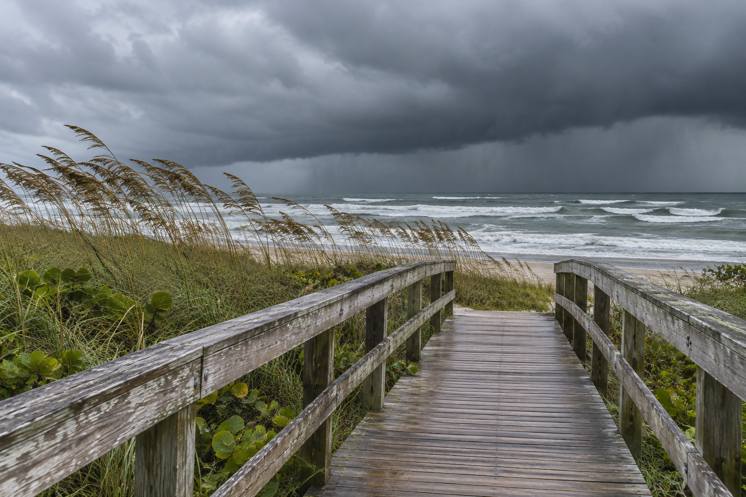
Repeated downpours along Florida’s Atlantic coast and a strengthening California storm demand different plans today: monitor flooding and coastal access in the East, and reassess rain, wind and mountain travel in the West. Existing river flooding in Florida makes additional rainfall more consequential than a fresh forecast alone suggests.
The Weather Prediction Center’s 12:38 a.m. Eastern discussion, valid Wednesday morning through Friday morning, highlights eastern Florida rainfall, California flooding concerns and Sierra snow. These are selected national priorities, not forecasts for every property. Local warnings, road restrictions and emergency instructions remain the operational guides.
Florida: distinguish ongoing flooding from the next rain
NWS Melbourne’s Wednesday forecast discussion, updated at 6:41 a.m. Eastern with its main discussion issued at 1:43 a.m., maintains a Flood Watch through Friday. It forecasts widespread totals of 4 to 6 inches, with locally higher coastal amounts. Those totals are predictions for the event, not measurements already collected.
The office reports ongoing extensive St. Johns River flooding, including major flood stage west of Cocoa, and expects additional rainfall to affect river levels. That observed situation is separate from the watch for possible additional flooding. Check the official local river forecasts for the particular gauge, forecast time and affected access route.
Melbourne also warns of strong onshore winds, dangerous rip currents and rough surf, with a High Surf Advisory through Friday. Coastal work may face several constraints simultaneously. A route affected by river flooding, a beach access point exposed to surf and an inland loading area under heavy rain require separate decisions.
Build the work plan around the access decision
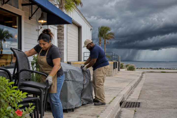
For a hypothetical Florida property manager, identify the first condition that would stop a visit: a road closure, a local warning requiring protective action or loss of a safe exit route. Assign a person to monitor updates, confirm how occupants receive notices and decide where equipment can remain without blocking drainage or emergency access.
Do not use a regional rainfall total to judge whether a particular road is passable. Melbourne specifically warns against driving through flooded roadways. Arrange alternatives before the next heavy band arrives, and keep already flooded areas out of routine inspection assignments. A watch calls for preparation; a warning or official closure can require immediate action.
Keep a simple access log for each property: the route, the person checking conditions, the latest official message and the next decision time. If several buildings share one low-lying approach road, record that dependency once so tenants, vendors and individual crews do not receive conflicting instructions.
California: the rain window shifts south
The Los Angeles/Oxnard office’s 3:12 a.m. Pacific discussion expects rain to begin along the northwestern Central Coast Wednesday afternoon and spread south. Its heaviest rainfall is forecast across Santa Barbara and western Ventura counties early Thursday, reaching Los Angeles County around midmorning. Confirm the current local timing before rescheduling an exterior task.
The office forecasts 1 to 2 inches for many coastal and valley locations, with locally greater totals and substantially more on favored slopes. Its forecast also includes a Flood Watch for much of the area and gusty winds. Amounts and impacts vary by terrain; a valley forecast does not describe a nearby hillside or canyon.
Mountain travel needs an elevation check
NWS Sacramento’s 12:58 a.m. Pacific update keeps heavy rain, mountain snow and gusty winds in the forecast through Friday morning. Its retained storm discussion forecasts 2 to 4 feet of snow above 5,000 feet in the Sierra and southern Cascades, with larger amounts possible at the highest peaks. This is forecast accumulation, not an observed snow report.
Sacramento places the strongest winds through Wednesday afternoon and describes possible urban flooding where heavier rainfall bands develop. Snow levels, meanwhile, vary during the storm. A destination’s elevation and the elevation of the route both matter: reaching a lower community may still require crossing a much higher pass.
Check Caltrans QuickMap and the relevant mountain forecast immediately before departure. Look for closures and controls on the entire route, then identify a delay or cancellation option. A clear departure point does not establish suitable conditions farther uphill, and an alternate road should not be assumed safer simply because navigation software suggests it.
For California deliveries, ask whether the schedule depends on a mountain crossing, wind-sensitive unloading or an outdoor connection. Moving an appointment changes exposure only if the revised route, time and work conditions address the actual constraint.
Keep the next decision specific
Use NDR’s preparedness guides to organize contacts and responsibilities, then rely on current local authorities for hazard decisions. Record who checks the next update and what would change the plan. Today’s useful distinction is between damage already reported, weather still forecast and the specific action your location requires.
Source notes
Forecast snapshot reviewed Nov. 18, 2026, at 8:35 a.m. Eastern. WPC’s short-range discussion was issued at 12:38 a.m. EST and is valid from 7 a.m. Wednesday through 7 a.m. Friday. Local NWS issuance times are identified above. Forecast products and warnings update; check current local information before acting. Examples are hypothetical; no firsthand reporting is claimed.