California’s Thursday storm now demands decisions about immediate travel and building access, while repeated Florida downpours are adding to an established flood problem. Treat the next few hours as a sequence of local checks: the advancing rain band, the mountain route and the coastal or river constraint may have different ending times.
The Weather Prediction Center’s 1:17 a.m. Eastern outlook, valid Thursday morning through Saturday morning, identifies California heavy rain, severe Sierra travel impacts and eastern Florida flash flooding as major national concerns. These selected priorities do not describe every address. Use the current local warning for decisions at a particular property.
Southern California: the front is an active constraint
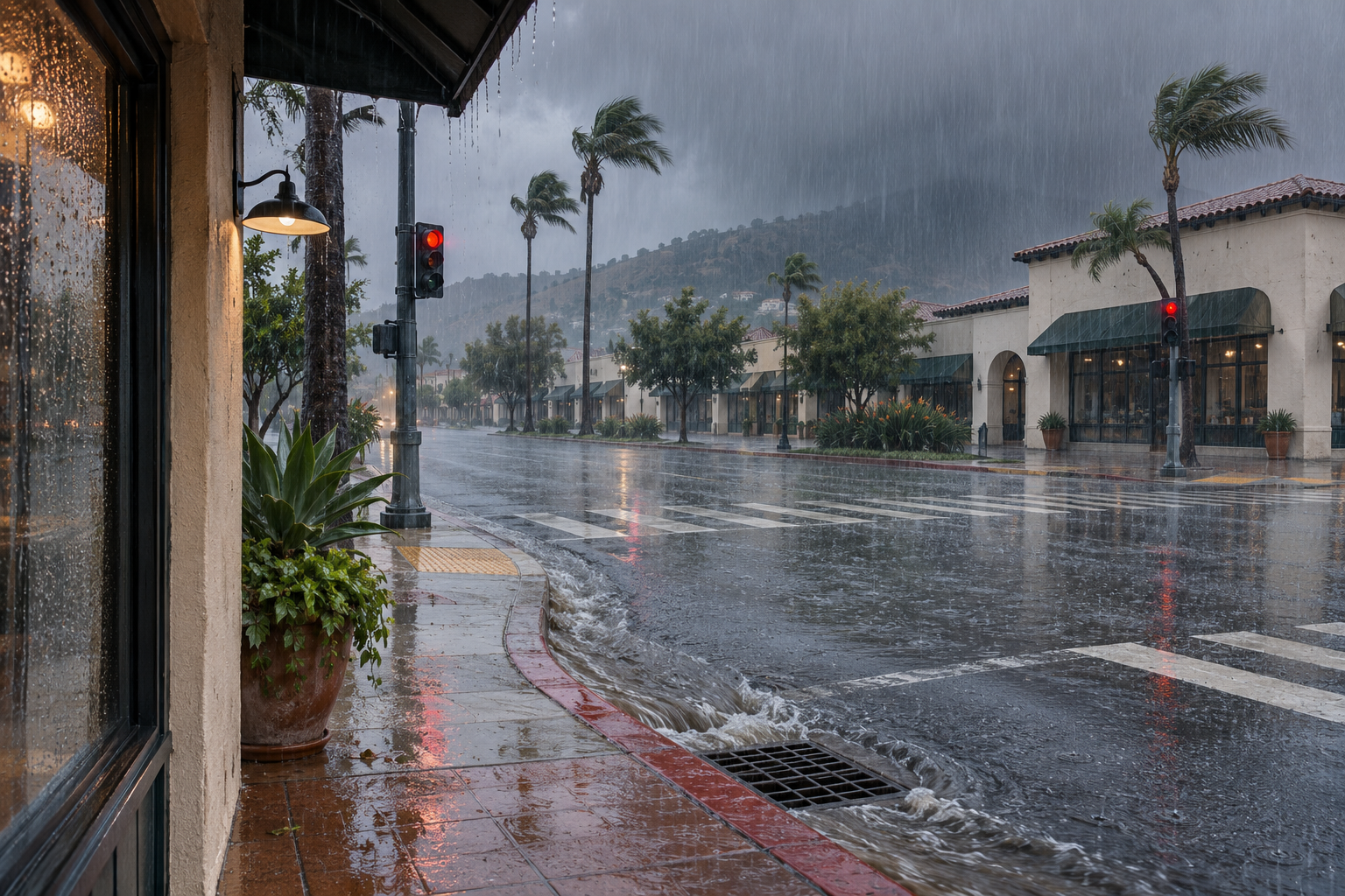
The Los Angeles/Oxnard office’s 2:47 a.m. Pacific discussion reports rainfall rates exceeding an inch an hour that had prompted multiple flash flood warnings. That is an account of conditions already encountered along the system, not a forecast that every Southern California neighborhood will receive the same rate.
The office expects the front near Santa Barbara around 6 a.m. Pacific, Ventura County between 7 and 10 a.m., and Los Angeles County between 9 a.m. and noon. It forecasts 1 to 3 inches across coastal areas and foothills, with greater amounts on coastal slopes. The forecast timing can change as the front moves.
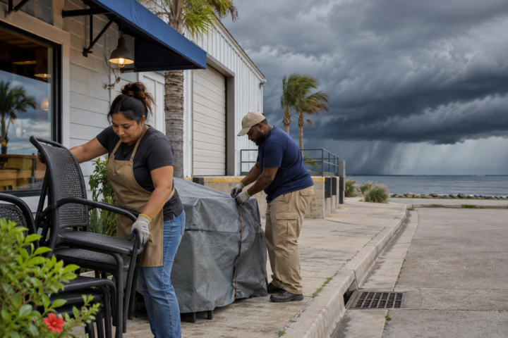
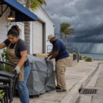
For a hypothetical building manager expecting a morning delivery, the useful question is whether the scheduled arrival overlaps the local warning or the heaviest rain window. Contact the carrier before dispatch, identify who can postpone the delivery and keep the unloading area out of routine use if access becomes unsafe. An appointment does not override a closure.
A passing rain band does not settle every hazard
Los Angeles/Oxnard also describes dangerous ocean conditions through Friday and beach hazards peaking Thursday. Some coastal areas face flooding concerns around the morning high tide. An improving inland radar picture therefore does not establish suitable conditions at a harbor, beach parking area or waterfront worksite. Check the product covering that specific location.
Separate the decision to reach a building from the decision to start work there. Record what prevented access, which task remains paused and who can reassess it. A dry doorway does not answer questions about a flooded approach road, exposed electrical equipment or structural damage. Those conditions require the appropriate authority or qualified assessment.
Sierra travel: look at additional snow and the whole route
The Sacramento office’s 1:57 a.m. Pacific update forecasts another 8 to 12 inches above 4,000 feet in the northern Sierra and southern Cascades, locally more at the highest peaks. These are additional forecast amounts, separate from the storm’s broader accumulation totals. Some Sierra showers may linger into Friday morning.
Sacramento also anticipates isolated thunderstorms Thursday afternoon and evening, with a possibility of strong or severe storms. Friday afternoon is expected to be drier, but Saturday morning brings potential frost and fog. A break in widespread rain can introduce a different travel problem rather than eliminate every weather constraint.
For a business serving several regions, maintain separate dispatch notes for each destination. A California mountain delivery and a Florida riverside inspection should not share a single status marked weather delayed. Specify the blocked route or task, the responsible contact and the next review time. That lets another employee understand the decision without interpreting a rainfall map or assuming all branches face the same operating conditions today.
Before committing a vehicle to a mountain crossing, check Caltrans QuickMap for restrictions and closures along the complete route. Confirm the driver can comply with current controls and has a workable delay option. Do not compare yesterday’s storm total with today’s additional snow forecast as though they covered identical periods.
Florida: accumulated rain changes the starting point
The Melbourne office’s Thursday discussion, updated at 6:46 a.m. Eastern with its main forecast issued at 2:26 a.m., reports 3 to 6 inches already received near the coast and farther inland from Indian River County north through Brevard and Volusia counties. It forecasts additional heavy rain through Friday night, including 4 to 8 inches in some already affected locations.
A Flood Watch continues through Friday, while existing St. Johns River flooding remains a separate concern. Melbourne forecasts further river rises and extends its High Surf Advisory through Saturday. Check the specific local river gauge forecast and access route rather than assuming that a lighter shower at the building means nearby water levels have stopped rising.
Choose the next check before the next trip
Use NDR’s preparedness guides to assign contacts and responsibilities, then name the next local update that could change the plan. Keep observed flooding, forecast precipitation and authorization to enter or work as separate entries. That distinction makes a weather briefing useful to the person deciding whether to leave, wait or call for qualified help.
Source notes
Forecast snapshot reviewed Nov. 19, 2026, at 8:38 a.m. Eastern. WPC’s outlook was issued at 1:17 a.m. EST, valid 7 a.m. Thursday through 7 a.m. Saturday. Local forecast issuance and update times are identified above. Linked products update; recheck current warnings and transportation guidance before acting. Examples are hypothetical; no firsthand reporting is claimed.