The most consequential U.S. weather change through Saturday is moving into the West: a Pacific system is forecast to bring rain, gusty winds and higher-elevation snow from the Northwest into northern California, while a separate southern-stream disturbance spreads showers and thunderstorms toward the southern Plains and Texas. For property owners, managers and travelers, the useful decision is whether plans put people, vehicles or exposed work at the coast, in a mountain pass or near a drainage problem during the local hazard window.
The Weather Prediction Center’s 2:23 a.m. Eastern short-range discussion, valid from Friday morning through Sunday morning, calls for widespread precipitation along the Pacific Coast and inland across the Intermountain West. It says rain is favored along the coast and at lower elevations, while snow may develop in higher terrain. The same outlook identifies moderate to heavy rain from Washington and Oregon into parts of northern California, with strong southerly gusts near coastal areas and headlands. Those are forecasts for broad regions, not reports that those conditions have already arrived at every location.
Northwest Washington: Rainfall is a Saturday concern
Saturday is the period to watch most closely in northwest Washington. The WPC’s Day 2 excessive-rainfall outlook, issued at 3:15 a.m. Eastern, places the Olympic Peninsula in a Marginal Risk area for excessive rainfall. It anticipates another round of moderate to heavy rain and says two-day totals could support isolated flash and areal flooding; its forecast calls for an additional 1 to 3 inches through Saturday night or early Sunday, with locally higher amounts possible. “Marginal Risk” signals a limited, location-dependent flooding concern, not an expectation of widespread flooding.
A facility manager can confirm that roof drains, downspout outlets and low points are clear before the next round of rain, then decide who will recheck them after the heaviest local period. Local warnings and transportation guidance govern immediate decisions.
Sierra travel: Snow and wind can change the plan
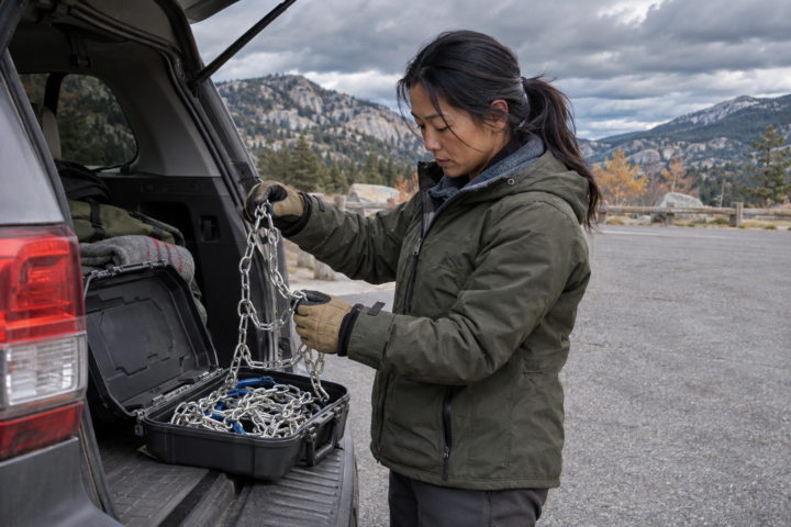
The WPC expects high-elevation snow as Pacific moisture meets colder air, especially across the Sierra and northern California ranges. Its short-range forecast describes chances for moderate to heavy Sierra snow through Saturday, and the national hazard page lists heavy snow as a concern for Friday, Saturday and Sunday. This is a travel-planning signal, not a statement that a particular pass is closed. Snow level, wind, chain controls and road conditions can differ sharply by elevation and can change after departure.
Before a mountain trip, make one clear, reversible decision: go only if the expected travel window remains within current road and weather guidance; otherwise reroute or postpone. A work crew can use the same framework by identifying a turnaround point, an alternate assignment and the person responsible for checking the next update. That is NDR’s planning advice, not a substitute for agency instructions.
Four Corners and Texas: A separate rain and thunderstorm track
Farther south, the national discussion says a trough advancing from Baja California should bring showers and embedded thunderstorms across the Southwest, with activity extending toward western Texas. Rainfall is forecast to increase across parts of the southern High Plains and Texas on Saturday as the system progresses east and interacts with Gulf moisture. NWS Fort Worth’s 12:52 a.m. Central forecast discussion expects widespread rain Saturday, with a 90% to 100% chance in its area, plus temperatures well below normal.
For Texas properties, Friday’s relatively quiet conditions are the time to separate an outdoor job’s weather-sensitive steps from work that can continue under cover. Verify that temporary materials are secured, confirm contact information for crews and tenants, and revisit the schedule when local timing becomes clearer. If a warning is issued for the precise location, follow it rather than relying on a regional outlook or a prior shift’s forecast.
The East remains unsettled and colder
In the East, the WPC expects cold cyclonic flow to keep lake-effect showers and potential snow in the Great Lakes region through Saturday, while scattered showers linger across New England and colder air supports rain changing to snow at higher elevations. NWS New York’s latest discussion says mainly light to moderate rain is expected overnight and Friday, with minor coastal flooding possible at vulnerable locations along the Long Island south shore during the Friday daytime high-tide cycle. It also notes that impacts from the rain itself are no longer anticipated, an important limit on the coastal forecast.
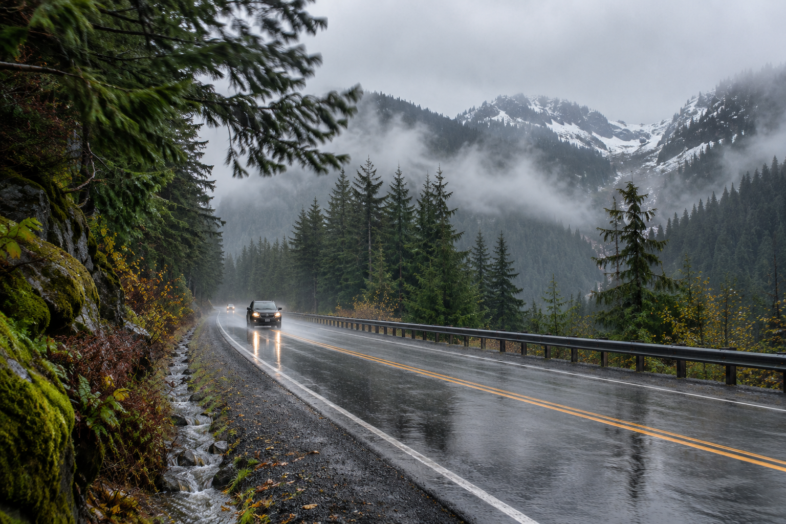
This national briefing highlights the leading weather decisions, not every local forecast. Review the linked products’ issuance times, then check your local NWS office, current alerts and road or marine authority guidance before acting. The representative illustration shows a plausible wet mountain travel setting; it is not a photograph of today’s conditions or a record of an event.