A quieter stretch of weather is not the same as a clear route or a usable property. Saturday’s national priorities include observed dense fog in California’s northern San Joaquin Valley, continuing river flooding in Florida and a Midwest cold front approaching after unusual warmth. Plan around the hazard at the actual destination, not yesterday’s storm headline.
The Weather Prediction Center’s 2:30 a.m. Eastern outlook, valid Saturday morning through Monday morning, describes rain moving north along the East Coast, another Pacific system bringing western precipitation and light snow developing in parts of the Upper Midwest Sunday. These are regional developments; current local alerts and transportation restrictions govern individual trips.
California: fog is already an observed problem
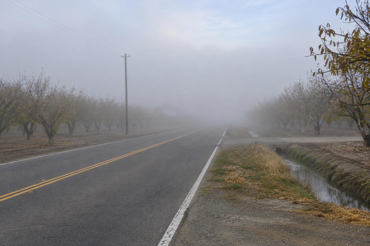
The Sacramento office’s 3:24 a.m. Pacific update reports dense fog in the northern San Joaquin Valley, confirmed through observations and webcams. A Dense Fog Advisory remains in effect there until 10 a.m. Pacific. Additional fog may develop in portions of the southern Sacramento Valley and Delta before dissipating later in the morning.
The same forecast keeps a weaker weekend system on track, with light Valley rain and mountain snow above 4,000 feet. Expected snow totals are 1 to 3 inches, locally up to 5 inches at the highest peaks. Those are forecast amounts for the new system, not measurements from the storm that affected travel earlier this week.
For a hypothetical service dispatcher, a mountain appointment can involve two separate constraints: poor visibility on the Valley approach and snow farther uphill. Check Caltrans QuickMap for the whole route, confirm applicable controls and identify a delay option before departure. A destination reporting clear skies cannot establish conditions along every intervening mile.
Florida: less widespread rain does not end river flooding
The Melbourne office’s Saturday discussion, updated at 6:30 a.m. Eastern with its main forecast issued at 3 a.m., expects scattered showers and isolated storms. It identifies a Marginal Risk of excessive rainfall focused primarily near the coast because soils remain saturated and some areas are flooded. It forecasts possible rainfall of a half inch to 2 inches, locally more.
The office keeps river flood warnings for five St. Johns River forecast points. Those locations are either already in major flood stage or forecast to reach it in coming days; the discussion does not say every point has already done so. Prolonged impacts are expected, and additional basin rainfall can produce further rises.
Check the official river forecast for the relevant gauge and time before arranging access. A lower rainfall category describes the current rainfall threat, not whether a flooded neighborhood has recovered. Keep road closures, river levels and any authorization to enter a damaged building as separate checks.
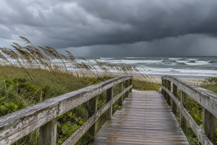
Melbourne also expects hazardous beach and boating conditions to continue Saturday, with gradual improvement afterward. Its forecast retains a high rip-current risk through at least Sunday. A rain-free interval beside a waterfront property therefore does not establish safe swimming, shoreline work or boat access.
Midwest warmth gives way to a different Sunday
The Chicago/Romeoville office’s morning discussion, updated at 5:12 a.m. Central with its main forecast issued at 2:01 a.m., predicts highs near 70 degrees across much of its area Saturday. That is a forecast of unusual late-November warmth, not confirmation that a record has been broken.
The office expects a period of rain Sunday as a cold front crosses the area, followed by blustery northwest winds and seasonably colder conditions next week. WPC’s Upper Midwest light-snow outlook has a different geographic scope; it should not be read as a Chicago snow forecast.
For an outdoor maintenance appointment, distinguish the day’s comfortable temperature from the next work window. Ask whether the task requires dry surfaces, stable access or materials protected overnight. Schedule changes should address the actual constraint, and work should still follow the relevant safety plan and qualified professional’s instructions.
A useful handoff distinguishes a weather improvement from a site decision still awaiting evidence. For example, a hypothetical Florida manager may hear that showers are becoming scattered while an access road remains closed. The correct update is that the forecast improved and access remains restricted. Keep the closure source and next review time beside that statement.
For a California delivery, record whether the delay concerns fog on the approach or snow at elevation. Those conditions may change at different times, so reopening one segment should prompt another complete route check.
Use the break to improve the next decision
Use NDR’s preparedness guides to assign the person checking the next update and the contact who can postpone a trip. Record the destination, route, unresolved condition and review time. Share that note with the next shift so an improving regional forecast is not mistaken for permission to reopen an affected area.
Source notes
Forecast snapshot reviewed Nov. 21, 2026, at 8:32 a.m. Eastern. WPC’s outlook was issued at 2:30 a.m. EST and is valid from 7 a.m. Saturday through 7 a.m. Monday. Local forecast issuance and update times are identified above. Linked products change; check current official local warnings and road guidance before acting. Examples are hypothetical; no firsthand reporting is claimed.