
Wednesday’s national weather priorities
Heavy rain in Hawaii, a few potentially severe thunderstorms in the Upper Mississippi Valley, and another sequence of Bering Sea storms lead the National Weather Service’s October 28 national outlook. Separate concerns continue in the Washington Cascades and along South Florida’s coast. These hazards have different clocks: afternoon storm development, overnight mountain snow, and flooding tied to coastal tides. NWS source
This Wednesday briefing summarizes forecasts available around midday Eastern time. It does not describe conditions at every address. Where a report includes measured weather, that observation is identified separately from what forecasters expect next. Recheck the linked local products before making travel or outdoor plans.
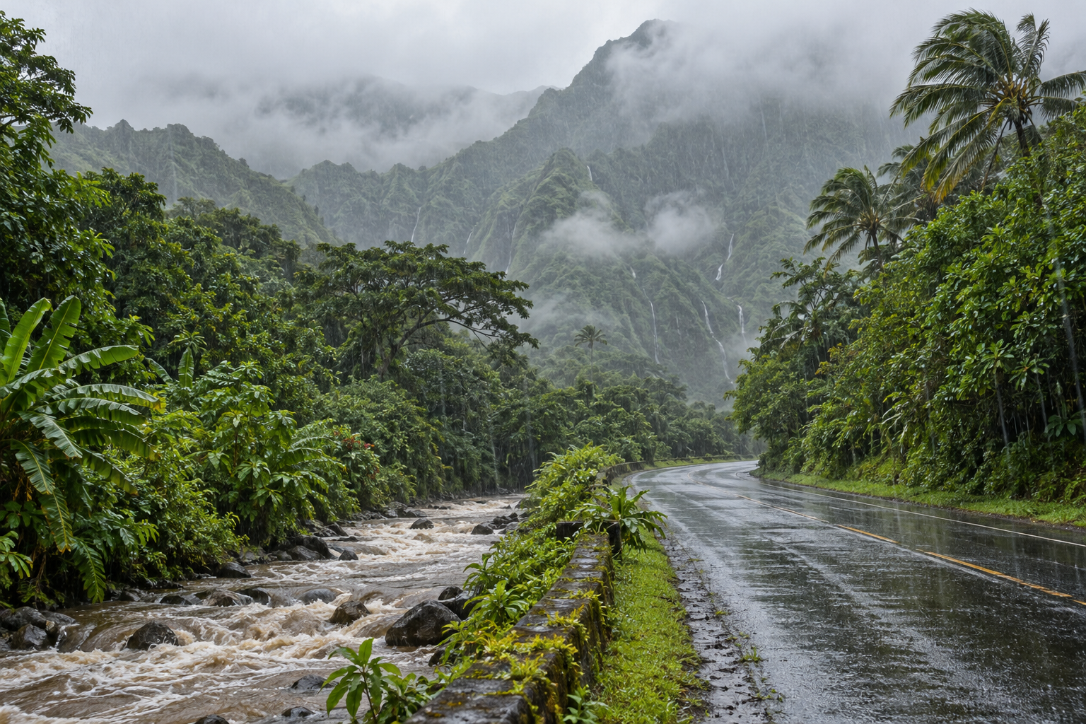
Hawaii: heavy rain remains the central concern
Honolulu’s Flood Watch, issued at 2:56 a.m. Hawaii Standard Time Wednesday, covers all main Hawaiian Islands through late tonight. A trough is drawing tropical moisture across the state, supporting heavy showers and isolated thunderstorms. Forecasters identify Oahu and Maui County as the areas of greatest flood concern, while emphasizing that every island remains exposed. NWS source
The watch describes possible flash flooding rather than confirming that flooding has occurred everywhere. Streams and drainage channels may overflow, runoff may affect urban and low-lying properties, and some roads could close. Steep terrain also brings a landslide concern. The practical distinction is important: a quiet interval at one location does not establish that the broader rainfall threat has ended. NWS source
Monitor subsequent warnings and local road information through tonight. The national outlook extends the potential for heavy rain and thunderstorms into early Thursday; the local watch provides the more specific current alert period. NWS source
Upper Mississippi Valley: watch afternoon storm updates
The national weather overview highlights a few possible severe thunderstorms in the Upper Mississippi Valley today, including some tornado potential. That wording describes a conditional forecast, not a report of tornadoes already occurring. People planning afternoon activities should keep a way to receive updated local alerts. NWS source
A La Crosse discussion issued Tuesday afternoon outlined uncertainty about Wednesday storm development, particularly across southeastern Minnesota. It anticipated unusually warm conditions, moisture arriving ahead of a front, and the possibility that clouds could limit storm strength. Because that discussion predates today’s national headline, its low-confidence details should not substitute for newer watches or warnings. NWS source
National Weather Service tornado guidance advises moving to a basement, safe room or interior room away from windows when a tornado warning includes your location. Identify that shelter before storms approach, and follow the established shelter procedure at work or school. NWS source
Alaska: coastal water, pass winds and renewed precipitation
Fairbanks’ 6:29 a.m. Alaska Daylight Time discussion forecasts another round of precipitation spreading from west to east Wednesday night into Thursday morning. Interior amounts are generally light, but wet or slushy spots that freeze can create slick travel. Higher terrain and exposed passes face a different set of concerns. NWS source
Alaska Range pass gusts could reach 65 mph Wednesday. The forecast then allows gusts up to 80 mph in the eastern Alaska Range from Thursday afternoon into Saturday morning. Those are location-specific possibilities, not statewide wind expectations. Western Brooks Range high terrain could receive eight to eighteen inches of snow through Thursday afternoon. NWS source
The same discussion reduces expected coastal impacts from Champi’s remnants compared with earlier forecasts. Hooper Bay remains an exception: water levels two to four feet above the normal high-tide line could produce minor flooding in low areas. A coastal flood advisory covers Thursday morning through late Friday night. NWS source
Cascades and Florida: distinct lingering hazards
Seattle’s 3:10 a.m. Pacific discussion reports two inches of snow at Paradise between midnight and 1 a.m., an observation rather than today’s final total. Forecasters expect snow levels near 3,000 to 3,500 feet today, with as much as six additional inches around Mount Rainier and smaller amounts elsewhere in the Cascades. NWS source
Miami’s 6:59 a.m. Eastern discussion forecasts major coastal flooding around high tide today and moderate flooding through the end of the week. Hazardous beach and marine conditions continue even as winds gradually ease. Rainfall is a separate issue: mainly isolated or scattered showers are expected, with thunder unlikely. NWS source
In western Washington, the morning forecast also allows a few lowland thunderstorms later in the afternoon. Overnight temperatures are expected to fall into the middle thirties to lower forties, followed by more scattered showers Thursday. Snow amounts will vary substantially with elevation. NWS source
For readers following several regions, keep each update attached to its place and date. Conditions reported at a mountain station cannot establish conditions along an entire highway, and a national headline cannot replace a neighborhood warning.
Across these regions, match decisions to the hazard and forecast period. A mountain route, coastal street and tropical stream crossing each require a different local check before your planned departure.
Source notes
October 28, 2026 forecast snapshot, checked around 12:30 p.m. Eastern. October 28 issuances: Honolulu Flood Watch 2:56 a.m. HST; Fairbanks 6:29 a.m. AKDT; Seattle 3:10 a.m. PDT; Miami 6:59 a.m. EDT. La Crosse background discussion issued October 27 at 2:17 p.m. CDT; its older forecast is identified as such. NWS national overview checked October 28. Linked products update as new versions are issued. Article body: 750 words, excluding headings, source-link labels and these notes.