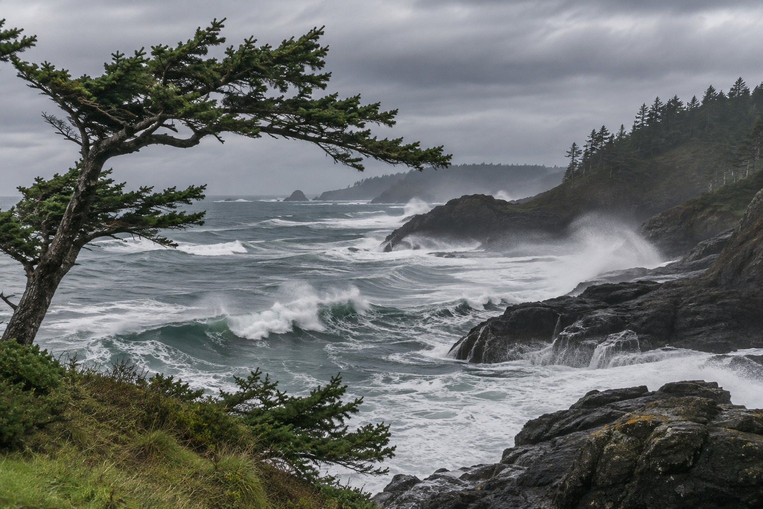

The Pacific Northwest faces the clearest immediate wind and coastal hazards this weekend, while the heavier rain threat in South Texas is expected to build into Sunday. Southern New England’s widespread rain is moving away, although showers can linger. For national travel and property planning, the important distinction is timing: quieter conditions this afternoon do not describe every region’s overnight outlook.
Northwest winds strengthen tonight
The National Weather Service’s Seattle discussion, issued at 9:12 a.m. PST Saturday, describes a cold front reaching the coast this evening and crossing Puget Sound around midnight. Forecasters expect coastal southerly gusts as high as 60 mph, with gusts of 45 to 50 mph in some interior areas. Those are forecast values, not reports of winds already measured everywhere.
The discussion lists a high wind warning for the northern Washington and Grays Harbor County coasts from 4 p.m. Saturday to 4 a.m. PST Sunday. A high surf warning follows from 10 p.m. Saturday through 10 p.m. PST Sunday. Beach hazards can outlast the strongest winds; an improving inland forecast is not an all-clear for shoreline recreation.
For households and businesses, use the remaining preparation window to secure loose outdoor items from a safe location and review outage arrangements. Keep travel decisions tied to current local alerts and road information. The forecast’s concern about leaves remaining on trees underscores why apparently moderate conditions earlier in the day should not substitute for checking the evening warning period.
The Seattle office does not expect river flooding during its seven-day hydrology outlook, despite repeated incoming systems. That distinction matters: a damaging wind or surf event need not produce a river flood. Property owners should match preparations to the hazards identified locally instead of using river forecasts alone to judge whether the broader storm deserves attention this Saturday and Sunday.
South Texas rain risk increases Sunday
The Brownsville weather office’s Saturday morning update places Deep South Texas in a marginal excessive-rainfall risk Saturday and a slight risk Sunday. These are outlook categories describing potential, not declarations that every community will flood. The office says isolated flash flooding is possible where heavier rain develops.
Its discussion forecasts generally 1 to 2 inches Saturday, with isolated higher amounts, followed by the wetter period Sunday into Sunday night. For that later period, totals of 1.5 to 3 inches are forecast across much of Deep South Texas, with isolated pockets of 4 to 5 inches possible. Those localized upper amounts should not be presented as a uniform regional forecast.
If your weekend involves a long drive or an unattended property, review the Sunday forecast as well as today’s conditions. Identify another route before heavy rain develops, and follow official closures rather than trying a flooded crossing. A rainfall outlook is useful for preparation, but warnings and local observations determine the immediate response when conditions deteriorate.
New England trends toward improvement
The Boston office’s 6:44 a.m. EST discussion says widespread rain should move offshore during Saturday, with lighter showers possible later in the day and tonight. The greatest later shower coverage is expected toward northern Massachusetts. The morning bulletin’s flood watch ended at 10 a.m.; it should not be described as an active afternoon watch without a newer extension.
Improvement is therefore a trend, not a promise of an entirely dry afternoon. The office also anticipates gustier west to northwest winds and renewed rough marine conditions tonight into Sunday. Travelers should distinguish the land forecast from the marine forecast when comparing plans. A coastal outing may face different constraints from an inland appointment.
A quieter center, with regional exceptions
The Weather Prediction Center’s national discussion, issued at 3 a.m. EST and valid through Monday morning, attributes widespread quieter conditions to high pressure over the country’s middle. It forecasts milder conditions in the northern High Plains, while cooler conditions extend into the eastern United States and Deep South. This broad pattern does not eliminate local wind or temperature concerns.
WPC also tracks rain from southern New Mexico and western Texas toward South Texas, and cold rain across the lower Great Lakes and New England. Some wet snow could mix in at higher New England elevations tonight into Sunday morning. These are regional forecasts; they are not a prediction of accumulating snow at every northeastern address.
Use the next update
Before leaving, match the forecast location and time window to your actual plans. Recheck local warnings tonight and Sunday morning, especially around Northwest beaches and South Texas drainage trouble spots. For related property preparation, browse NDR’s Planning guides. Keep recovery work separate from weather observation: a calmer sky does not establish that a damaged building, flooded road or electrical system is safe.