Two weather timelines matter
Northwest wind and rain demand attention Tuesday, while much of the eastern United States faces a different decision: prepare during a mild interval for a colder, gustier pattern arriving later Wednesday into Thursday. South Texas’s recent heavy-rain threat is easing rather than expanding into another nationwide flood story.
The Weather Prediction Center’s national outlook separates those developments. Its Tuesday morning forecast covers the period through Thursday morning, with repeated Pacific systems in the Northwest and a strengthening disturbance crossing toward the Appalachians. This is a forecast snapshot, not a report that every anticipated impact has occurred.
Washington’s coast and Skokomish basin
The National Weather Service in Seattle forecasts increasing wind Tuesday, with gusts up to 50 mph in coastal beaches and the Northwest Interior under a Wind Advisory beginning at 1 p.m. Pacific. Those locations should not be confused with every neighborhood around Seattle.
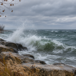
The office also lists a Coastal Flood Advisory for ocean beaches from 10 a.m. to 3 p.m. Pacific Tuesday and a High Surf Advisory extending into Wednesday morning. Coastal water, wave and wind hazards are separate from inland river flooding; check the product covering the specific destination before a shoreline trip.
For the Skokomish River, Seattle’s discussion identifies a flood watch and the possibility of reaching flood stage Tuesday evening or early Wednesday. It forecasts 2.5 to 4 inches of rain on the southern Olympic slopes over the period ending early Wednesday. That is forecast rainfall, not a measured total.
A flood watch means flooding is possible, not certain. Use NWS explanations of watches and warnings alongside current local products. For a property visit, identify an alternative route before a river crossing becomes the only way home.
Midweek changes across the Midwest
Central Indiana provides a useful example of the approaching eastern change. The Indianapolis Weather Service expects dry, mild conditions through early Wednesday afternoon, followed by showers with embedded thunderstorms later Wednesday and into the evening. Its forecast allows for isolated stronger gusts, especially toward southern portions of the area; it does not describe a guaranteed severe storm at every address.
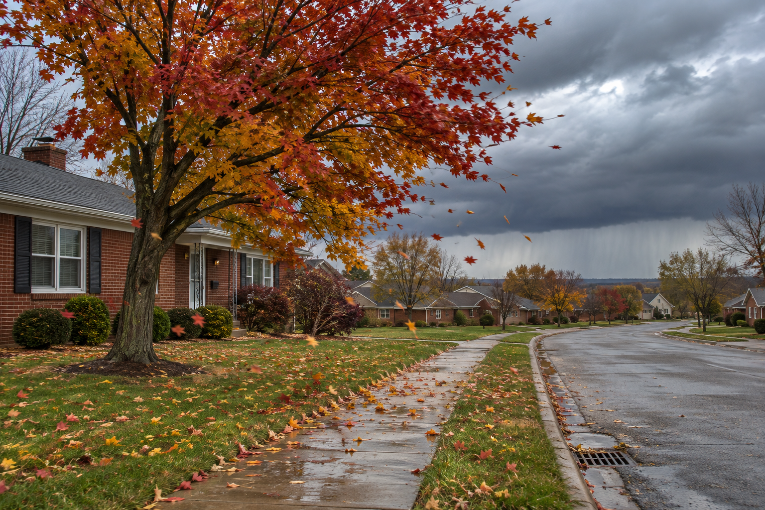
Behind the front, the office forecasts gusty northwest wind and noticeably colder air. Thursday’s highs are expected to hold in the 40s across central Indiana, with additional light precipitation. A few snowflakes are possible in parts of the region Friday, beyond the national outlook’s Thursday morning endpoint.
Keep the timing attached to the claim. Tuesday’s comfortable conditions do not establish Wednesday evening’s travel conditions, and a late-week snow possibility is not evidence of accumulating snow today. Check the next local forecast before scheduling exposed outdoor work.
South Texas trends toward improvement
Brownsville’s updated Tuesday forecast says rain chances gradually diminish through Wednesday night, with drier conditions expected by Thursday. Its alert list showed no watches, warnings or advisories at review time. A moderate rip-current risk remained in the office’s key messages for Tuesday afternoon.
That change matters for readers following Monday’s briefing. Do not carry yesterday’s heavy-rain emphasis forward unchanged. Improving rain chances describe the atmosphere; they do not certify that a previously affected road, drainage area or property is ready for access.
Use the national picture locally
The national outlook keeps much of the western interior comparatively dry and mild through Thursday morning. Farther east, passing systems bring scattered showers to portions of the Great Lakes and Northeast before the broader cold shift. Regional forecasts refine where those general patterns become consequential.
For households and recovery teams, divide the plan into today’s task and the next weather change. In the Northwest, review wind and water alerts before leaving. In the Midwest, compare Wednesday’s departure and return times against the frontal passage rather than relying on Tuesday’s forecast.
NWS wind guidance explains that strong wind can move objects and threaten safety. Make preparations while conditions permit and follow local instructions when hazards develop. Avoid turning a routine property check into a reason to approach breaking surf or an affected river.
Consider a hypothetical restoration crew with one Washington coastal visit and another central Indiana appointment. The first decision concerns Tuesday’s active local products; the second concerns whether Wednesday’s planned return falls after the forecast front. Recording those windows with the address and a responsible contact creates a clearer go or reschedule discussion than a nationwide label such as stormy. The crew should confirm access with the property representative and follow authorities’ instructions rather than assume availability means safety.
Read the linked local forecasts again before travel and use official alerts for action. A national briefing helps identify the next question; the forecast and warning for your location supply the details needed to answer it.