
Two storm tracks, different timing
A coastal storm is bringing a wetter, colder turn to the Northeast, while a Pacific system threatens a sharp deterioration in Western mountain travel Friday. Thursday’s useful planning question is where the next change falls on the clock: rain near the Atlantic coast, possible wet snow inland and a separate mountain storm still approaching from the Pacific.
The Weather Prediction Center’s 3 a.m. Eastern outlook covers Thursday morning through Saturday morning. It forecasts colder air spreading across the central and eastern United States, lake effect precipitation downwind of the Great Lakes and heavy Sierra Nevada snow with strong winds late Friday into Saturday. Those are regional forecasts, not a claim that every location already has winter conditions.
New York: Downpours and high tides
NWS New York’s 6:18 a.m. Eastern discussion expects intermittent rain as low pressure moves offshore and lingers nearby Friday. Locally heavy downpours Thursday afternoon and evening could produce brief nuisance flooding, particularly where drainage is poor. The office describes the overall flash flood threat as low, a qualification that should stay attached to the downpour forecast.
Minor coastal flooding is also possible in spots during daytime high tides Thursday and Friday. Coastal water levels and rain falling on streets are different mechanisms, even when they affect the same community. Check the applicable coastal forecast alongside the ordinary hourly weather forecast.
Well north and west of New York City, rain may mix with wet snow Friday. The local office expects little or no accumulation. A regional headline about mountain snow should not be read as a prediction of accumulating snow throughout the metropolitan area.
Southern New England: A cold, wet stretch
NWS Boston’s 6:04 a.m. Eastern update describes rain spreading across southern New England, with periods of wet snow possible in higher terrain. Significant accumulation is not expected in that office’s forecast area. The distinction between the Berkshires, Worcester Hills and lower elevations matters more than a single statewide weather label.
The update says gale watches were converted to gale warnings for affected waters. It also notes potential for minor flooding at Nantucket during Friday afternoon’s high tide. That potential is not confirmation that flooding has occurred. Marine and coastal headlines apply to specified areas and periods; use their details before making waterfront plans.
For a hypothetical property team crossing from the coast into higher terrain, compare both destinations and the return trip. Conditions later Friday may differ from those at departure. Keep access and work arrangements flexible rather than treating one morning forecast as a guarantee for the entire assignment.
California: Rain, surf and a mountain change
NWS San Francisco’s 3:52 a.m. Pacific update keeps Thursday generally warm and dry before rain returns Friday. The office expects the first system to reach the North Bay before spreading into the Bay Area and Central Coast. Forecast timing varies within the region; a dry start does not describe the full approaching storm.
The coastal concern extends beyond rainfall. A Beach Hazards Statement covers dangerous waves and increased sneaker wave and rip current risks. High Surf Warnings are scheduled from Friday evening into early Sunday for specified coastal zones. High tides also raise flooding concerns at vulnerable bayshore locations through Friday.
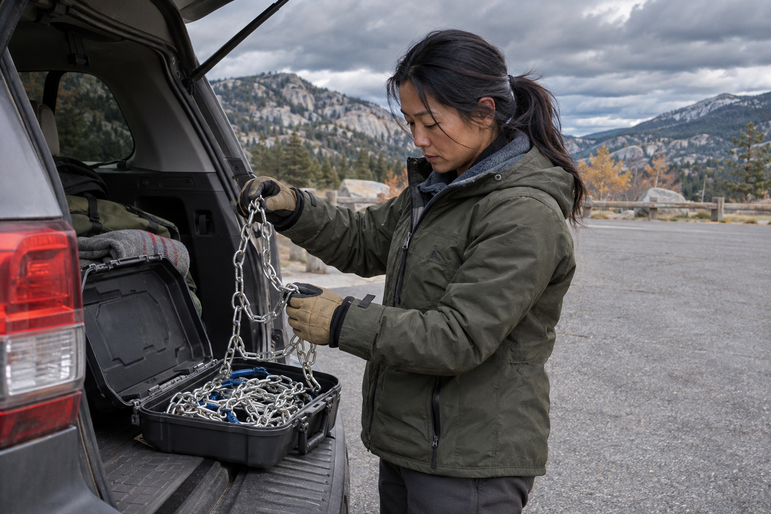
Farther inland, the national outlook warns that heavy Sierra snow and strong winds could make travel dangerous to impossible Friday night into Saturday morning. Treat that as a reason to review mountain plans in advance, not as an observation of current road conditions. The representative image illustrates preparation, not a documented storm scene.
For a mountain journey, make a clear decision before departure: proceed within the forecast window, change the route or postpone. Compare the pass forecast with the hours you expect to be there, then identify where you can stop safely if plans change. For a contractor dispatch, record who will check the next forecast and contact the destination. This is a practical planning framework, not a prediction that a particular road will close or a substitute for transportation authorities’ current access instructions. Include enough flexibility for a delayed return.
Texas: The next rain window is later
NWS Fort Worth’s 5:32 a.m. Central update expects mostly sunny conditions through Friday with gradual cooling. Its main rain window arrives late Saturday night through Sunday night, with chances of 70% to 90% across North and Central Texas. Cooler conditions are expected Sunday into the middle of next week.
This briefing highlights selected national developments and cannot resolve conditions for every address. Follow the linked offices, check issuance times and read current local alerts before travel or outdoor work. Separate what has been reported from what is forecast, and revisit plans when the timing or warning information changes.