
Sunday’s most useful weather distinction is timing: southern New England’s heavier rain is expected tonight, southeastern Texas shifts from morning fog toward afternoon and evening storm chances, and Chicago turns colder as a front passes. Use those local windows to review deliveries and outdoor work. A comfortable start does not describe the entire day.
The Weather Prediction Center’s 2:58 a.m. Eastern discussion identifies Slight Risk areas for excessive rainfall in parts of New England and the western Gulf Coast. It also anticipates Michigan lake-effect snow and scattered western mountain snow. These regional forecasts identify priorities for local checks; they do not establish conditions at every property.
New England: focus on tonight’s rain window
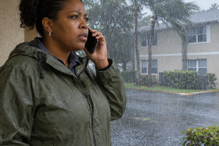
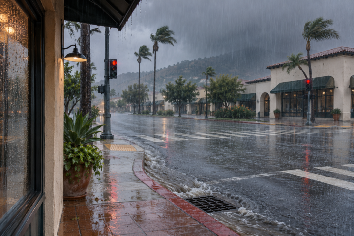
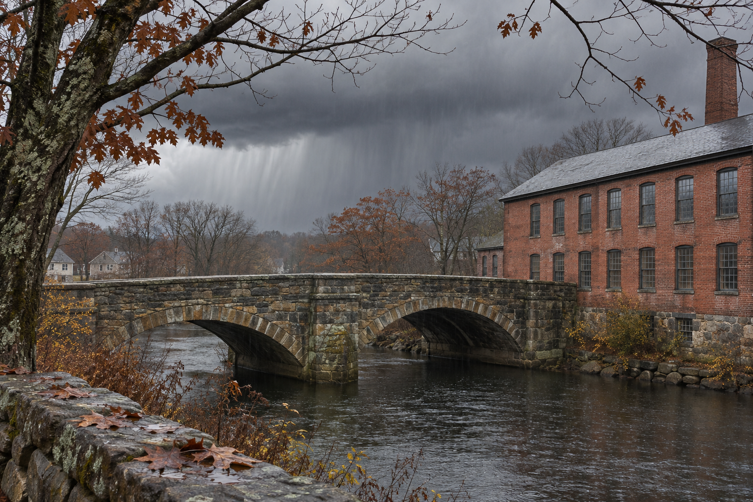
The Boston/Norton office’s 4:04 a.m. Eastern forecast expects moderate to heavy rain late Sunday into early Monday. It highlights southeastern Massachusetts and Rhode Island for the greater rainfall potential, including flood-prone urban locations. Forecast totals are 1 to 3 inches, much of that potentially falling within roughly six hours. These are predicted amounts, not observations.
The office describes a low overall flash-flood risk because the system should move quickly, while retaining concern for street ponding and poor-drainage flooding. That qualification matters alongside the broader national outlook. Its gust forecast is generally 25 to 40 mph, strongest near Cape Cod and the islands, with another gusty period behind the departing low Monday.
For a hypothetical property manager, distinguish a task that can finish before the rain from one that would leave materials exposed overnight. Confirm who can postpone the delivery, how the entrance will remain accessible and whether the contractor can secure unfinished work under the applicable safety plan. A forecast window is planning information, not permission to ignore local restrictions.
Texas: fog and storms require separate checks
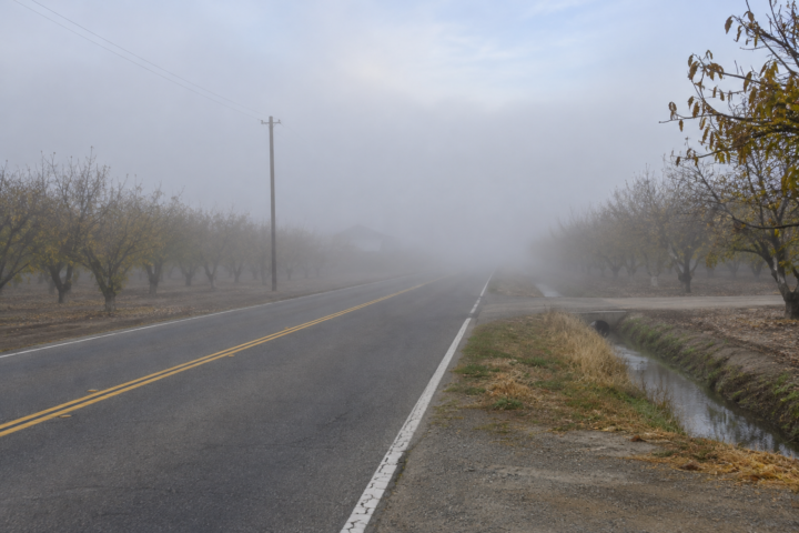
The Houston/Galveston forecast, updated at 5:34 a.m. Central, carries a Dense Fog Advisory for listed areas until 9 a.m. Central. Its main discussion, issued at 11:47 p.m. Saturday, places the best rain and storm chances along and south of Interstate 10 from midafternoon through the night. Some stronger cells could produce hail and heavy downpours.
An improving view from the departure point does not resolve a later storm exposure at the destination. Check the local warning and route shortly before leaving, then identify a delay option before the vehicle is dispatched. Avoid interpreting a regional rainfall category as a measurement of water depth on a particular road.
Chicago: the frontal passage changes the workday
The Chicago/Romeoville discussion, updated at 5:20 a.m. Central with its main forecast issued at 1:49 a.m., expects a weakening rain band to cross the region Sunday. It forecasts roughly four hours of rain at a given location, focused from midmorning into early afternoon around metropolitan Chicago. Temperatures should fall during the afternoon as blustery northwest winds develop.
The office expects seasonably colder conditions Monday and much of next week, with upper teens possible Monday night in parts of interior northern Illinois. That is a local forecast, not a statement that every Chicago neighborhood will reach the same minimum. Review weather-sensitive work requirements against the updated conditions rather than Saturday’s unusual warmth.
Western travel: Sunday showers, then another change
The Sacramento office’s 1:07 a.m. Pacific update reports a weak system moving through early Sunday. It expects light rain and mountain snow above 4,000 feet, with lingering showers from Interstate 80 southward later Sunday. Drier weather is anticipated tonight into early Tuesday, but Valley and Delta fog may develop overnight into Monday morning.
For a mountain trip, check Caltrans QuickMap along the entire route and verify current controls before departure. A drier regional forecast cannot establish clear pavement at a pass or good visibility on the approach. Keep the road-condition check separate from the destination forecast.
Holiday planning needs a review time
Keep the evidence for a schedule change specific. A carrier delaying arrival because of fog, a contractor pausing exterior work because of wind and a manager restricting access because of a closure are making different decisions. Record the responsible contact and the condition that would permit reassessment. That prevents a general message saying weather improved from overriding an unresolved site restriction or sending another crew to repeat the same unsuccessful trip unnecessarily.
Both Chicago and Sacramento flag uncertain details for midweek weather. Chicago describes a broad range of outcomes, while Sacramento expects another period of rain, mountain snow and breezy conditions Tuesday through Thanksgiving. Do not turn that guidance into a confident snowfall total or fixed travel verdict several days ahead.
Use NDR’s preparedness guides to assign contacts and a next forecast check. Record which route, task or delivery would change if the forecast shifts. Share the unresolved condition with the next shift so a provisional schedule remains visibly provisional.
Source notes
Forecast snapshot reviewed Nov. 22, 2026, at 8:27 a.m. Eastern. WPC’s discussion was issued at 2:58 a.m. EST and covers Sunday into Monday; no separate validity line was printed in the retrieved product. Local forecast issuance and update times are identified above. Linked products change; recheck official local warnings and road guidance before acting. Examples are hypothetical; no firsthand reporting is claimed.