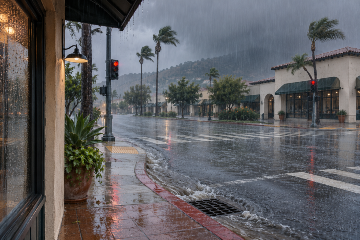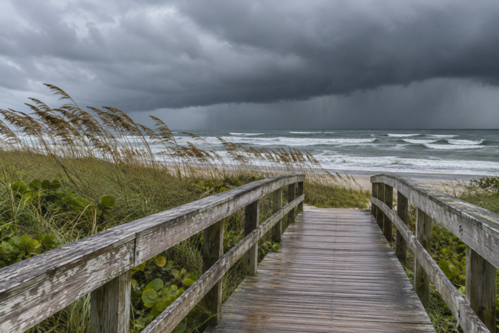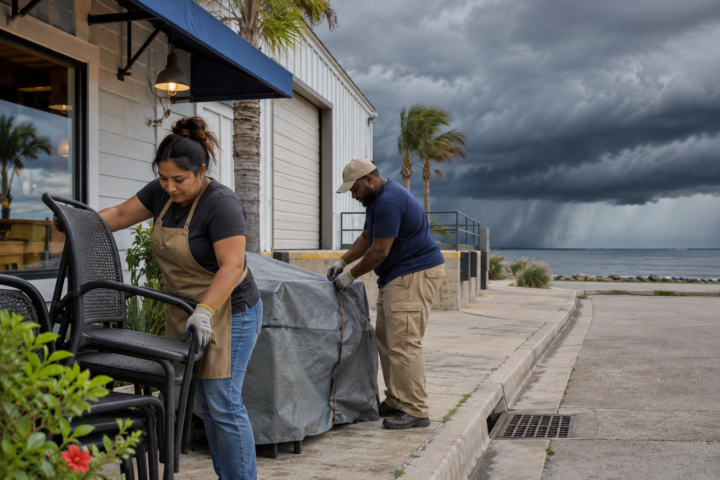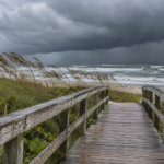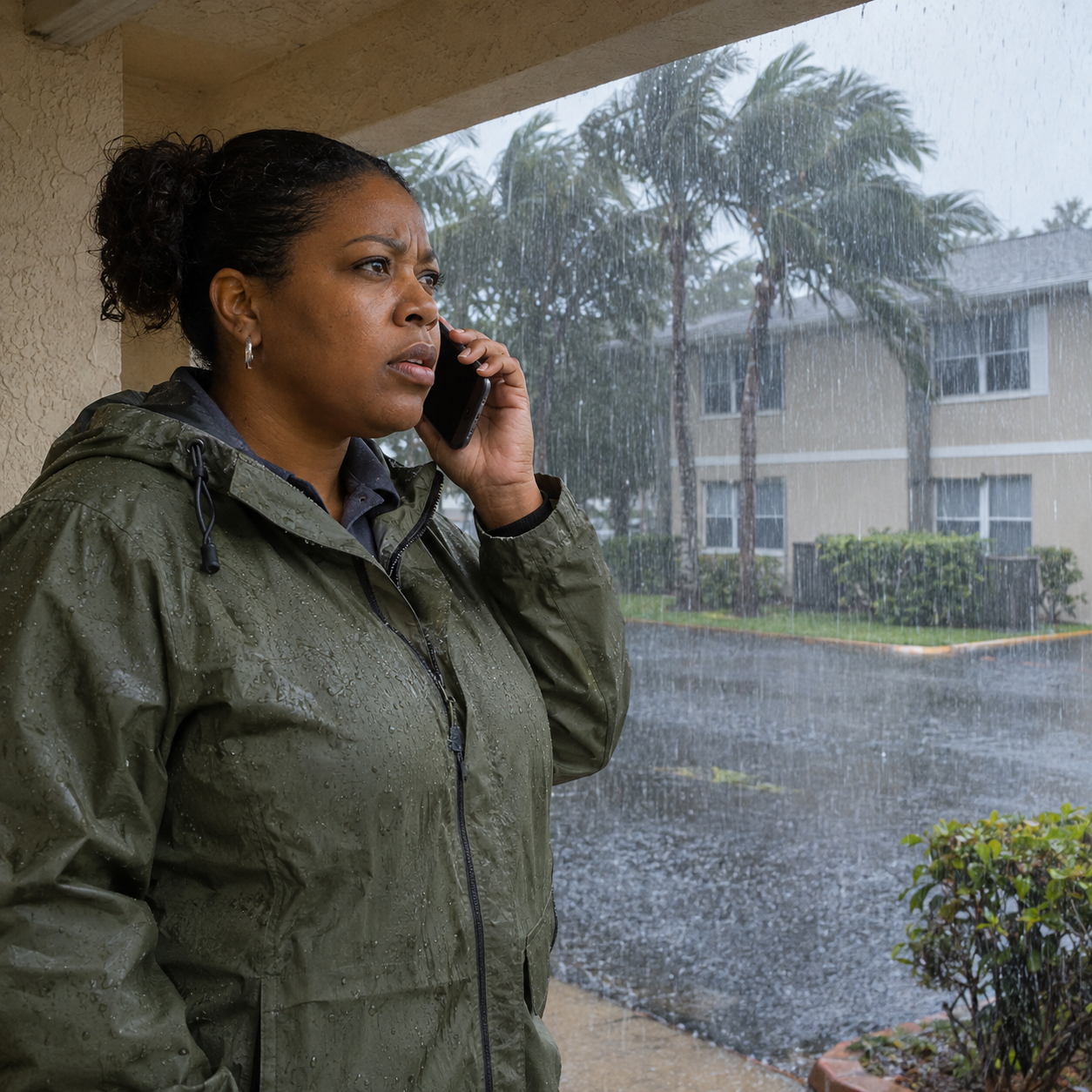
Florida’s Atlantic coast faces the most consequential weather concern in today’s national briefing: a High Risk of excessive rainfall, with additional downpours falling onto saturated ground and an already flooded river basin. Property visits, deliveries and coastal work need an immediate local warning check. Do not wait for a storm name before changing a hazardous plan.
The Weather Prediction Center’s 4:26 a.m. Eastern discussion, valid Friday morning through Sunday morning, warns of severe, widespread flash flooding in the Florida risk area, including places that do not usually experience it. The outlook is a regional assessment, not a guarantee about an individual building or a replacement for local emergency instructions.
Florida: the rainfall outlook has escalated
The Melbourne office’s Friday forecast, issued at 2:42 a.m. Eastern and updated at 7:07 a.m., assigns High Risk to parts of Brevard and Volusia counties. It predicts another 4 to 6 inches along their coasts through Saturday, locally more. Those are additional forecast amounts, not measurements.
Melbourne reports major flooding at the St. Johns River west of Cocoa and at Geneva, with further rises forecast. Its Flood Watch continues into Friday evening, while the High Surf Advisory runs through Saturday. A river flood warning, a rainfall outlook and a coastal advisory describe different hazards; check each one affecting the route or destination.
Check the official river forecasts for the relevant gauge and time. A lighter shower at a property does not establish that its approach road is usable or that the river has crested. Follow closures and emergency directions, and never drive through a flooded roadway.
Make the access decision before sending the crew
For a hypothetical manager responsible for several properties, separate essential occupant communication from routine inspection appointments. Identify the person who can cancel a visit, the contact receiving tenant concerns and the next official update that will trigger a reassessment. Keep crews from independently interpreting an old screenshot of the forecast as permission to proceed.
Share the same decision note with occupants, vendors and the next shift. Include a callback contact so a canceled appointment does not become an unannounced arrival at a restricted entrance. Keep a separate record of unresolved occupant needs.
An access note should answer four practical questions: which entrance or road is affected, what official restriction applies, who last checked it and when the decision will be reviewed. If there is no verified alternative, record that clearly. A navigation app suggesting another road does not establish that the alternate route is safe.
Keep the decision to enter separate from the decision to begin restoration. Weather information cannot establish electrical or structural safety. A contractor’s availability, an insurance appointment or a tenant’s request does not resolve those questions. Obtain the relevant qualified assessment and required authorization before treating a damaged area as ready for work.
Do not make a storm name the decision trigger
Melbourne’s discussion reports a broad low near southeastern Florida and the northwestern Bahamas, while noting uncertainty about whether it will acquire tropical or subtropical characteristics. The flood, wind and surf concerns already exist independently of that classification. Use current local instructions for protective decisions rather than assuming an unnamed system has limited consequences.
That distinction also helps explain the forecast to occupants. State the action and its reason: a visit is postponed because the access route is restricted, not because a storm might receive a name later. Avoid promising a reopening time that depends on water levels, inspections or decisions still outside the property manager’s control.
Western travel: improvement comes with remaining constraints
The Sacramento office’s 1:48 a.m. Pacific update forecasts 2 to 8 additional inches of snow above 4,000 feet through Friday morning. It keeps a Winter Storm Warning for the northern Sierra and southern Cascades above that elevation until 10 a.m. Pacific. Showers should diminish, with drier conditions following later Friday.
The office then forecasts cold conditions, possible frost and Valley and Delta fog late Friday night into Saturday morning. A weaker system is expected late Saturday morning into Sunday, with light rain and more mountain snow. These are successive forecast periods: Friday’s improvement is not a weekend travel clearance.
Check Caltrans QuickMap along the entire route before leaving, including any mountain crossing beyond the destination. Confirm current restrictions, the driver’s ability to comply and an acceptable delay option. A lower snowfall forecast for the next system does not establish clear pavement after the previous storm.
Keep the weekend plan tied to an update
Nationally, WPC also expects snow across the Rockies Friday and Saturday and rain with embedded thunderstorms along an advancing central U.S. front Saturday evening into Sunday. Use NDR’s preparedness guides to assign contacts, then identify the local forecast and road check that will determine the next trip.
Source notes
Forecast snapshot reviewed Nov. 20, 2026, at 8:32 a.m. Eastern. WPC’s discussion was issued at 4:26 a.m. EST and is valid from 7 a.m. Friday through 7 a.m. Sunday. Local forecast issuance and update times are identified above. Forecasts, alerts and road conditions change; recheck official local information before acting. The management example is hypothetical; no firsthand reporting is claimed.