Today’s most time-sensitive weather decision is in Texas, where repeated rain and thunderstorms could create localized flooding concerns from north-central Texas toward the coast through the weekend.
The Weather Prediction Center’s 1:35 a.m. Eastern short-range discussion, valid from Saturday morning through Monday morning, says a low pressure system and atmospheric river will support widespread rain and high-elevation snow in the Pacific Northwest into northern California. It also identifies flash-flooding risk from the southern Plains into the Lower Mississippi Valley.
Texas: match the plan to the local rain window
WPC’s Day 1 excessive-rainfall outlook, issued at 3:16 a.m. Eastern, places north-central Texas and the Olympic Peninsula in Marginal Risk areas. For Texas, the discussion says models indicate a potential for heavy to excessive convective rainfall as storms develop later Saturday and move from the eastern Panhandle through northern and central parts of the state overnight. It notes that relatively dry soils may limit the flooding response while also warning that efficient rain rates could create localized problems.
The same WPC product places portions of coastal Texas in a Slight Risk area for excessive rainfall Sunday, citing increasing signals that problematic amounts could develop inland, particularly in urbanized places and where recent rainfall has already occurred. A Slight Risk is not a forecast that every coastal neighborhood will flood. It is a reason to check the exact local forecast, active alerts and drainage conditions before committing crews, vehicles or equipment to low-lying routes.
NWS Austin/San Antonio’s 12:10 a.m. Central discussion expects rain chances to spread east across south-central Texas Saturday and Sunday, with a few strong storms possible Sunday over the Coastal Plains. It expects cooler air to arrive from the north Sunday. That local forecast is a useful reminder that the timing and type of concern vary within the state: a rain chance, a strong-storm potential, a flood risk and a cold-front shift are related but not interchangeable.
A practical property check before storms arrive
For a hypothetical property manager in a Texas city, the preparation question is simple: where does water go if rain intensifies after dark? Confirm that roof drains and downspout outlets are open, move portable materials away from door thresholds and assign one person to monitor local warnings. If the property relies on a low crossing or access road, choose an alternate arrival route before the first heavy band. This is an NDR planning framework, not a forecast for a specific building and not a substitute for emergency instructions.
Pacific Northwest: wind, surf and another frontal push
In western Washington, NWS Seattle’s 2:02 a.m. Pacific discussion says another frontal system will bring rain and windy conditions later Saturday into Sunday. It describes a morning threat of minor coastal flooding in the San Juans and western Whatcom County, seas exceeding 20 feet along coastal beaches, and increasing rain and wind along the coast later in the day. Forecast gusts of 45 to 55 mph are possible near the east entrance to the Strait and adjacent areas overnight.
The Seattle office also says a Flood Watch remains in effect for the Olympics and nearby areas because of periods of heavy rain, while river flooding is not expected on other rivers in its forecast area during the next seven days. That scope matters. A Flood Watch is an alert to prepare for the possibility of flooding; it is not confirmation that a river is flooding. Coastal and marine hazards also apply to specified zones and time periods, not all of Washington.
Mountain snow and colder air follow the front
As the front advances inland, the national outlook shifts showers and mountain snow toward the Intermountain West and Four Corners. Seattle forecasts snow levels falling to about 4,000 feet Sunday night, when precipitation is expected to be lighter and accumulations limited at some higher passes. Travelers should check the current state transportation and pass information immediately before leaving, because snow level, wind and road controls can change faster than a national outlook.
Meanwhile, WPC says freeze and frost conditions will spread across parts of the Mid-Atlantic, Southeast and Lower Mississippi Valley into Sunday morning, while lake-effect rain and snow showers persist downwind of the Great Lakes. A weather-sensitive operation should separate the immediate hazard from the next one: protect exposed plumbing or plants before a freeze, then reassess any travel or outdoor work after the local forecast updates.
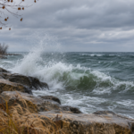
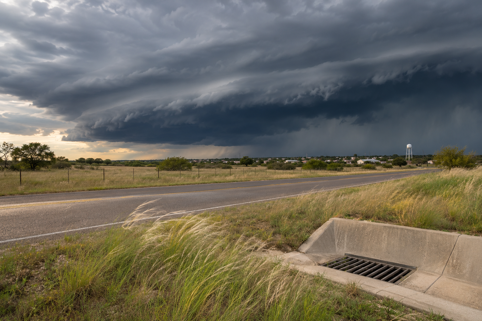
This briefing covers selected national developments, not every address. Review the linked products’ issuance times, then follow your local NWS office, emergency management agency and road or marine authority for current warnings. The representative illustration depicts a plausible weather setting; it is not a photograph of today’s storm conditions or evidence that damage has occurred.